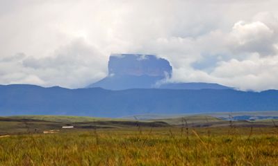
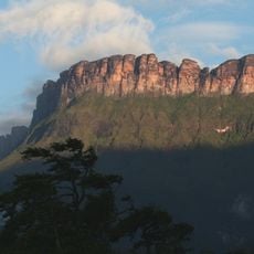
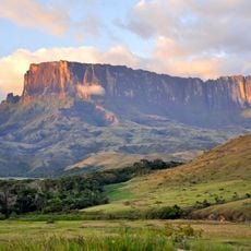
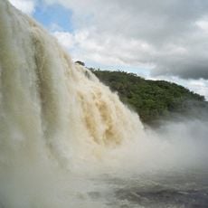
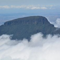
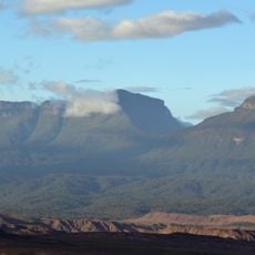
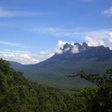
Ptari-tepui, Table mountain in Bolívar, Venezuela.
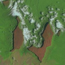
Ptari-tepui is a table mountain in Bolívar with a flat summit plateau surrounded by vertical cliffs that rise 2,400 meters (7,900 feet) above the surrounding terrain. The top features erosional rock formations and a complex landscape shaped by centuries of weathering and drainage patterns.
This mountain formed millions of years ago as part of the Guiana Highlands, representing one of the oldest mountain structures on Earth. The tepui's geological origins predate most modern mountain ranges and reflect the ancient geological history of South America.
The Pemón indigenous people named this mountain after its resemblance to a budare, a traditional griddle used for preparing cassava bread. The name reflects how the local community saw the landscape through their own everyday objects and traditions.
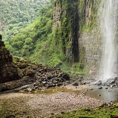
Access to the summit is impossible on foot due to the vertical rock walls surrounding the entire mountain, making helicopter transportation the only way to reach the top. This means visitors planning to explore the plateau need to arrange specialized expeditions through authorized teams.
Two species of carnivorous pitcher plants found only on this summit do not exist anywhere else in the world, having evolved exclusively in its thin soil and mist-covered environment. These rare plants represent a remarkable example of isolated plant evolution on the remote plateau.
The community of curious travelers
AroundUs brings together thousands of curated places, local tips, and hidden gems, enriched daily by 60,000 contributors worldwide.