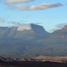
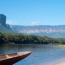
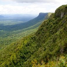
Cueva Charles Brewer - Carías, Quartzite cave in Chimantá Plateau, Venezuela.
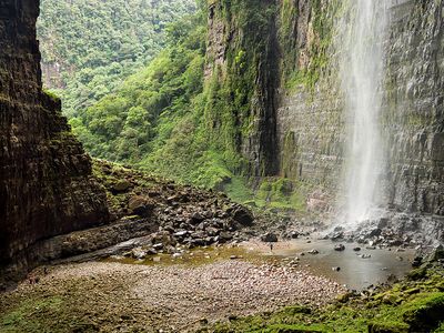
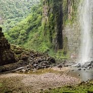
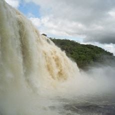
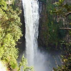
Cueva Charles Brewer - Carías is a cave system on the Chimantá Plateau with over 4,000 meters of underground passages, multiple chambers, waterfalls, and a powerful river flowing through. Water levels inside fluctuate considerably, shaping the appearance of this subterranean landscape.
The site was discovered in 2004 by Venezuelan explorer Charles Brewer-Carías after he spotted a tectonic rupture and underground river during an aerial survey in 2002. This observation led to the first documented visit to the hidden cave.
Multiple scientific expeditions have documented the cave's geological features, including large rock formations that resemble white spheres and mushrooms created by bacterial processes.
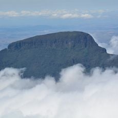
Access requires helicopter transport due to the remote location within the Chimantá massif, and visitors should be prepared for changing conditions based on water levels. The extreme isolation means proper preparation and suitable gear are essential.
Specialized wildlife inhabit the cave, including swallows near the entrance, giant cicadas, and large scorpions in the deeper sections, making it a distinct ecosystem. These inhabitants have adapted to the unique conditions of the underground environment.
GPS coordinates: 5.45583,-62.46140
Latest update: December 6, 2025 17:43
Venezuela contains places away from standard tourist routes. The Andes hold waterfalls and colonial towns with long histories. The coast features remote beaches and islands with clear waters. Inland areas have caves, rock carvings, and nature reserves. The country experiences rare natural events,...
Angel Falls
57.7 km
Canaima National Park
97.2 km
Auyantepui
50.3 km
Kukenán-tepui
182.9 km
Jasper Creek
163.9 km
Cuquenan Falls
184.8 km
Ptari-tepui
79.9 km
Aponwao Falls
108.4 km
Salto Kamá
137.7 km
Ilú–Tramen Massif
161.4 km
King George VI Falls
151.6 km
Sapo Falls
98.3 km
Wadakapiapué-tepui
171.2 km
Aprada-tepui
5.2 km
Estación Terrena de Luepa
104.7 km
St. Helen's Cathedral
176.6 km
Karaurín-tepui
161.8 km
Kamarang Great Falls
153.5 km
Pacheco Waterfall
154.9 km
Yuruaní Falls
156.7 km
Anatoly Island
98.3 km
Suspension bridge over Cuyuní river
168.9 km
Capilla de Santa Teresita
79.9 km
La Paragua Forest Reserve
144.5 km
Eastern Tepuis Natural Monument
172.4 km
Mount Guaiquinima Natural Monument
133.7 km
Cerros Ichúm y Guanacoco Natural Monument
173.1 km
El Frio Forest Reserve
172 kmVisited this place? Tap the stars to rate it and share your experience / photos with the community! Try now! You can cancel it anytime.
Discover hidden gems everywhere you go!
From secret cafés to breathtaking viewpoints, skip the crowded tourist spots and find places that match your style. Our app makes it easy with voice search, smart filtering, route optimization, and insider tips from travelers worldwide. Download now for the complete mobile experience.
A unique approach to discovering new places❞
— Le Figaro
All the places worth exploring❞
— France Info
A tailor-made excursion in just a few clicks❞
— 20 Minutes