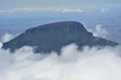
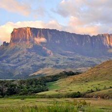
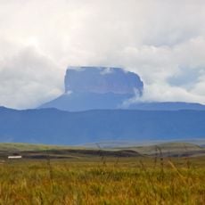
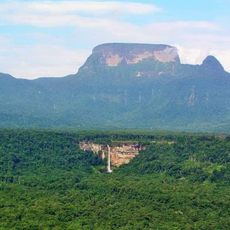
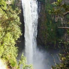
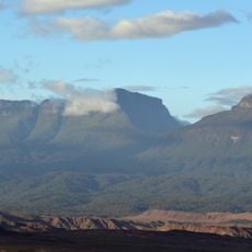
Karaurín-tepui, Mountain summit in Bolívar, Venezuela.
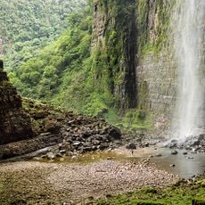
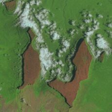
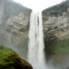
Karaurín-tepui is a table-top mountain in Bolívar with a summit reaching approximately 2,500 meters elevation and a plateau measuring around 1.88 square kilometers. The surface is covered in low shrubby vegetation.
The mountain formed over millions of years through geological processes that created its distinctive flat-topped structure. This gradual erosion and weathering continues to shape the landscape of the region today.
The mountain is part of the Eastern Tepuis chain, and its name comes from the Pemon indigenous language meaning table-top mountain. Visitors can grasp this indigenous naming tradition by observing the distinctive flat summit shape.
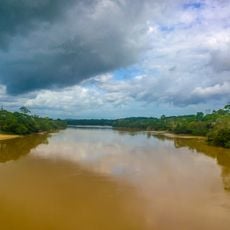
The remote location near the Guyana border requires specialized travel arrangements and thorough preparation for any exploration attempts. Accessibility is limited and visitors should expect difficult conditions.
The summit plateau functions as an isolated ecosystem with plant and animal species that evolved separately from surrounding areas. This isolation over long time periods allowed specialized life forms to develop.
The community of curious travelers
AroundUs brings together thousands of curated places, local tips, and hidden gems, enriched daily by 60,000 contributors worldwide.