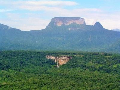
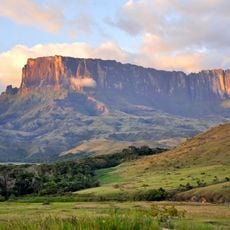
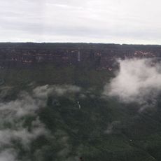
Mount Ayanganna, Sandstone tepui in Pakaraima Mountains, Guyana
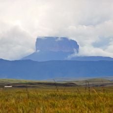
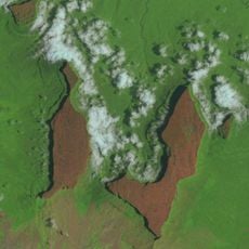
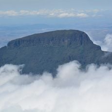
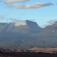
Mount Ayanganna is a sandstone table mountain in the Pakaraima range that rises to about 2040 meters. Its slopes are covered with cloud forest, while broad plateaus at the top form the distinctive shape of this easternmost peak in the chain.
The Guyana Defence Force planted a flag on the summit in 1966 to mark the nation's independence. This act became a tradition, leading to an annual expedition commemoration.
The mountain serves as a landmark for indigenous communities living in the valleys below, where people have maintained traditional ways of life for generations. These settlements form part of the cultural fabric of the region.
Climbing to the summit requires advanced skills and good physical fitness, as the route passes through dense rainforest with steep elevation changes. Visitors should be prepared for wet conditions, rough terrain, and the need to join an organized expedition.
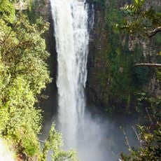
The summit hosts distinct plant habitats in close proximity, including rare bromeliads on waterlogged plateaus and mid-canopy forests on steep slopes. This ecological variety makes the site particularly interesting for nature observers.
The community of curious travelers
AroundUs brings together thousands of curated places, local tips, and hidden gems, enriched daily by 60,000 contributors worldwide.