Enable Location

We need your location to show you interesting places around you

Discover nearby places

Find interesting locations and hidden gems around you

Precise directions

Get accurate directions and distances to places

Your location is never shared with other users. It's only used when you tap the location button.

Log in to your account

Start exploring — it's free

Trusted by 62,832 travelers worldwide

Continue with Google
Continue with Apple
or

We will send you a code to connect

By continuing, you accept our Terms and Conditions and our Privacy Policy

Check your inbox

We've sent a pincode in your inbox. Please enter the code below.

Essequibo Islands-West Demerara, Administrative region in coastal Guyana.

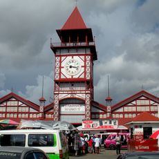
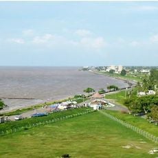
Essequibo Islands-West Demerara is an administrative region located along Guyana's Atlantic coast, comprising numerous river islands and mainland areas. The territory includes multiple settlements connected by waterways, with Parika functioning as a key hub for regional connections.

The region underwent administrative reorganization in 1958 under British rule, when the Essequibo area was separated from the islands and West Demerara district was established. This restructuring shaped the territorial divisions that remain today.

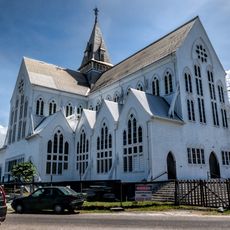
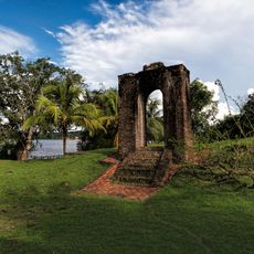
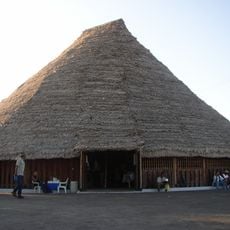
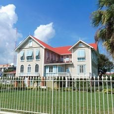
The settlements here are defined by their location along the Essequibo River, where people gather in everyday spaces like local markets and places of worship. These communal settings reveal how residents maintain their ways and traditions.

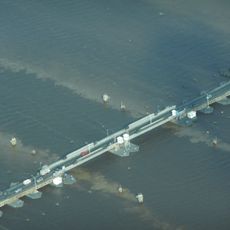
Getting around this region requires using water taxis that depart from Parika, which serves as the main transportation connection point. Water-based travel is the primary way to move between settlements and islands here.

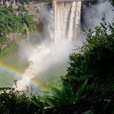
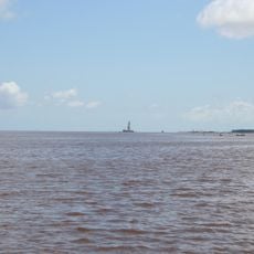
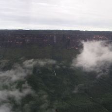
The Essequibo River system contains around 365 islands scattered throughout the region, with Hogg Island, Wakenaam, and Leguan being the largest three. This abundance of islands shapes the geography and gives the area its distinctive character.

The community of curious travelers

AroundUs brings together thousands of curated places, local tips, and hidden gems, enriched daily by 60,000 contributors worldwide.

Start exploring
Location
Location
Location
Capital city
Vreed en Hoop
Shares border with
Upper Demerara-Berbice
GPS coordinates
6.71506,-58.54902
Latest update
December 7, 2025 19:27
« Essequibo Islands-West Demerara - Administrative region in coastal Guyana » is provided by Around Us (aroundus.com). Images and texts are derived from Wikimedia project under a Creative Commons license. You are allowed to copy, distribute, and modify copies of this page, under the conditions set by the license, as long as this note is clearly visible.

Discover hidden gems everywhere you go!

From secret cafés to breathtaking viewpoints, skip the crowded tourist spots and find places that match your style. Our app makes it easy with voice search, smart filtering, route optimization, and insider tips from travelers worldwide. Download now for the complete mobile experience.

Around Us App Screenshot

A unique approach to discovering new places

Le Figaro

All the places worth exploring

France Info

A tailor-made excursion in just a few clicks

20 Minutes

Around Us
Travel Guide & Maps
Download

Send to your phone

QR Code
1

Open the camera app on your mobile.

2

Point at the QR code with your camera. A notification will appear.

3

Tap the notification to open the link.