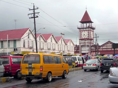
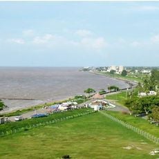
Demerara-Mahaica, Administrative region in eastern Guyana
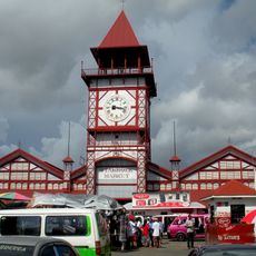
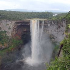
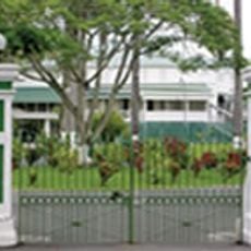
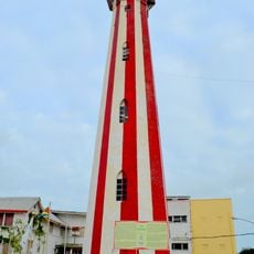
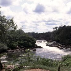
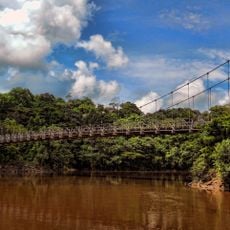
Demerara-Mahaica is an administrative region in eastern Guyana along the Atlantic coast, with densely settled coastal areas and agricultural lands spreading inland. The territory includes numerous villages and towns of varying sizes connected by roads, serving as home to the country's largest population cluster.
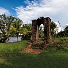
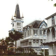
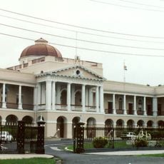
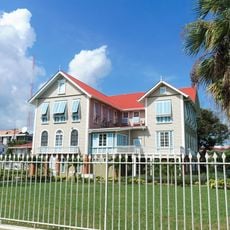
This region developed from colonial administrative boundaries and became one of Guyana's most advanced areas over time. Its growth was shaped by decisions made during the British colonial period that influenced settlement patterns and economic focus.
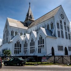
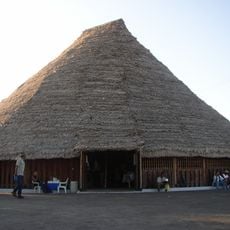
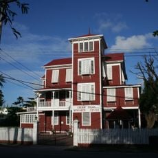
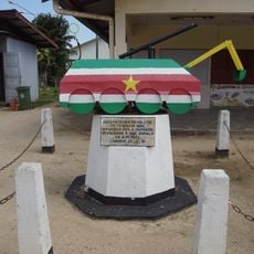
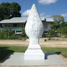
The communities here blend African, Indigenous, Indian, and European influences that shape local celebrations, cooking styles, and how neighbors interact with each other. This cultural mixture is visible in the decorations, festivals, and customs you encounter while moving through the settlements.
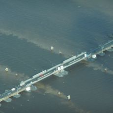
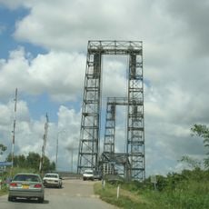
Visit during the drier months when roads between settlements are easier to travel on and the landscape is more accessible. Local minibuses and buses are the main way to get around between the different towns and villages in the area.
Despite being one of the smallest areas by size, it holds the country's largest population, creating a tight-knit community dynamic across many settlements. This density means that local networks of families and neighbors are deeply connected in ways that shape daily interactions.
The community of curious travelers
AroundUs brings together thousands of curated places, local tips, and hidden gems, enriched daily by 60,000 contributors worldwide.