Mahaica-Berbice, Administrative region in coastal Guyana
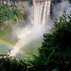
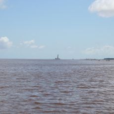
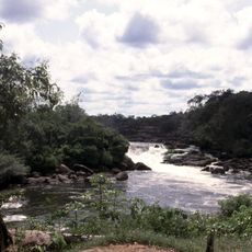
Mahaica-Berbice is an administrative region along the Atlantic coast of Guyana covering approximately 4,190 square kilometers (1,620 square miles). The Mahaica, Mahaicony, Abary, and Berbice rivers flow northward through the territory, shaping the landscape.
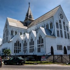
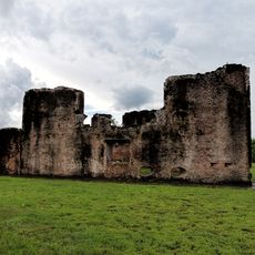
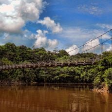
The region developed around its river transportation routes, which became central to colonial and post-colonial trade networks. Fort Wellington's rise as the regional center reflects its historical importance to Guyana's coastal settlement patterns.
Fort Wellington serves as the regional center and is surrounded by farming communities including Rosignol, Mahaicony, Abary, Belladrum, and Hope Town. These settlements shape daily life through their strong connection to agriculture and river trade.
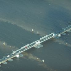
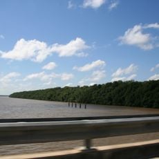
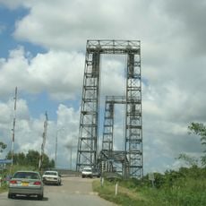
The region connects to neighboring areas via the Berbice Bridge, enabling transport and commerce across the river crossings. Visit during drier months when river crossings and travel between settlements are easier.
The Burma Rice Development Station is the only facility in the country dedicated to rice production research and breeding. This specialized center makes the region an important hub for advancing Guyana's agricultural development.
The community of curious travelers
AroundUs brings together thousands of curated places, local tips, and hidden gems, enriched daily by 60,000 contributors worldwide.