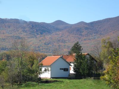
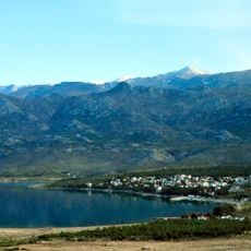
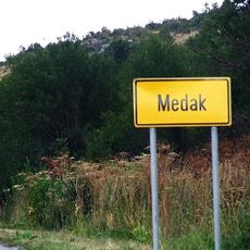
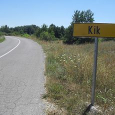
Sveti Rok, Mountain settlement in Lovinac, Croatia
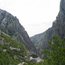
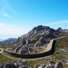
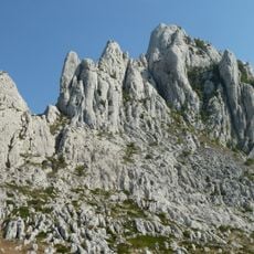
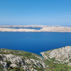
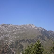
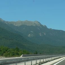
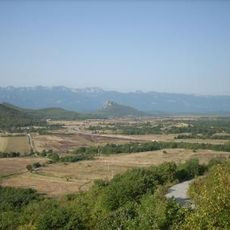
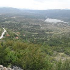
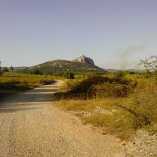
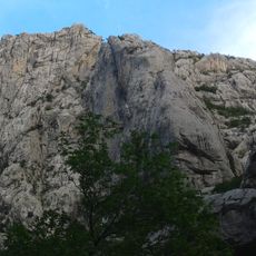
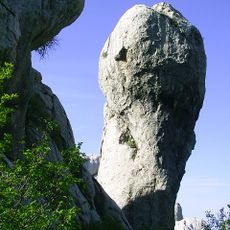
Sveti Rok is a mountain settlement spread across the southern Velebit range in the Lika region. The area spans more than 100 square kilometers with peaks rising above 1,700 meters (5,600 ft).
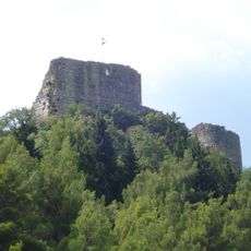
The settlement was first documented in the mid-1800s during Austrian rule as part of the Croatian Military Frontier. It formed part of the Likaner Regiment, which governed this border region.
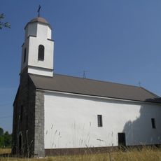
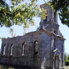
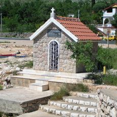
The Catholic parish church forms the focal point of the settlement and reflects the religious traditions of the local community. The building serves as a gathering place that shapes how residents experience daily life here.
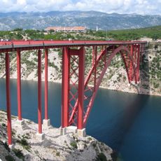
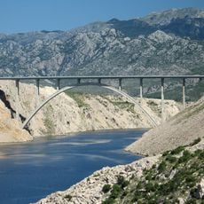
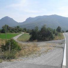
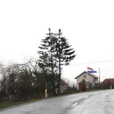
The tunnel entrance and nearby A1 motorway connect this area to other parts of Croatia. The location is easily reached via the main highway that links inland and coastal regions.
The area operates a water bottling facility that taps natural spring sources from the surrounding mountains. This operation demonstrates how the settlement makes use of the mountain environment for local economic activity.
The community of curious travelers
AroundUs brings together thousands of curated places, local tips, and hidden gems, enriched daily by 60,000 contributors worldwide.