
Borak, settlement in the Town of Omiš, Split-Dalmatia County, Croatia
Location: Split-Dalmatia County
Location: Omiš
GPS coordinates: 43.43948,16.70670
Latest update: October 15, 2025 21:29
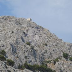
Starigrad Fortress
794 m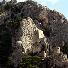
Mirabella Fortress
1.2 km
Velika
1.4 km
Duće
3.4 km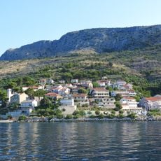
Jesenice
9.1 km
Splitska
10.9 km
Pisak
12.4 km
Škrip
12.6 km
Lokva Rogoznica
5.8 km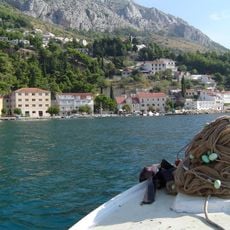
Mimice
9.2 km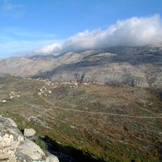
Gornje Sitno
11.6 km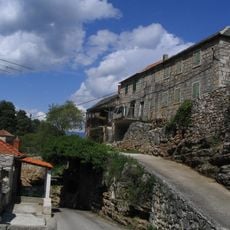
Dol
12 km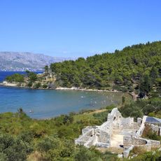
Arheološko nalazište Lovrećina
8.6 km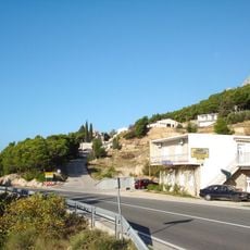
Marušići, Omiš
11.2 km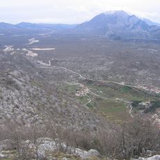
Seoca, Omiš
9 km
Srijane Viaduct
9 km
Stanići, Omiš
3.2 km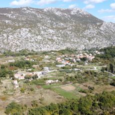
Ostrvica, Omiš
3.6 km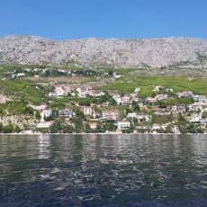
Čelina, Omiš
3.6 km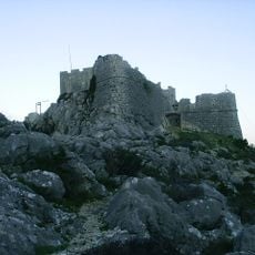
Omiš Old Town
796 m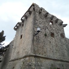
Cerineo Castle in Škrip
12.1 km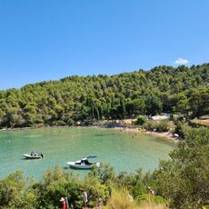
Lovrečina
8.5 km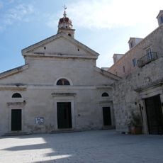
St Hieronymus
10.4 km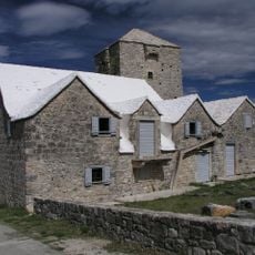
Radojković Castle in Škrip
12.1 km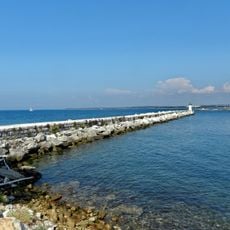
Sveti Nikola Lighthouse
9 km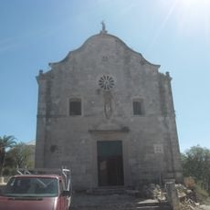
Church of Saint Helena
12.1 km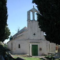
Crkva sv. Duha u Škripu
12.1 km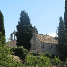
Crkva sv. Ivana Krstitelja u Škripu
12.1 kmReviews
Visited this place? Tap the stars to rate it and share your experience / photos with the community! Try now! You can cancel it anytime.
Discover hidden gems everywhere you go!
From secret cafés to breathtaking viewpoints, skip the crowded tourist spots and find places that match your style. Our app makes it easy with voice search, smart filtering, route optimization, and insider tips from travelers worldwide. Download now for the complete mobile experience.

A unique approach to discovering new places❞
— Le Figaro
All the places worth exploring❞
— France Info
A tailor-made excursion in just a few clicks❞
— 20 Minutes