Zádor, village in Hungary
Location: Szigetvár District
Shares border with: Kastélyosdombó, Szörény
GPS coordinates: 45.96226,17.65907
Latest update: April 24, 2025 09:07
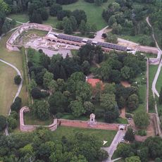
Castle of Szigetvár
14.5 km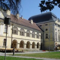
Pejačević Castle in Virovitica
25.6 km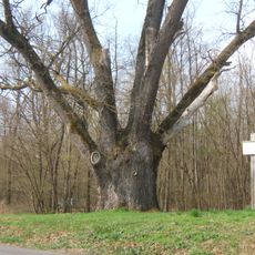
Patkó Bandi Tree
9.6 km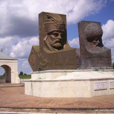
Hungarian-Turkish Friendship Park
17.3 km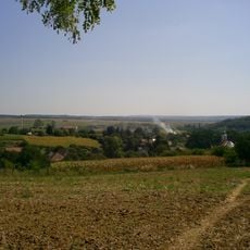
Zselic National Landscape Protection Area
30.6 km
Lisičine Arboretum
36.1 km
Château Majláth
38 km
Cabuna
24.3 km
Celtic Castle on Jakob's Hill
40.2 km
Križnica
23.4 km
Ćeralije
38 km
Stari Gradac
28.7 km
Roman villa and mausoleum in Kővágószőlős
36.5 km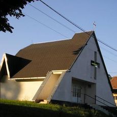
Vukosavljevica
35 km
Lončarica
36.4 km
Pčelić
20.4 km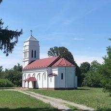
Gaćište
15.1 km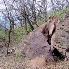
Jakab-hegy Remete Cave
39.8 km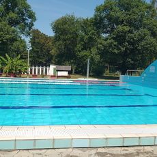
Sellyei Termálfürdő
17.6 km
Turnašica
35.1 km
Budakovac
12.5 km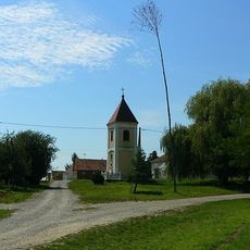
Gornje Predrijevo
24.1 km
Novaki, Sopje
18 km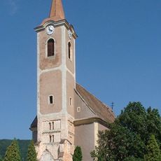
Medieval church in Kővágószőlős
38.7 km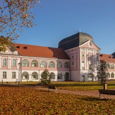
Virovitica City Museum
25.6 km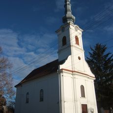
Reformed Church, Botyka
18.8 km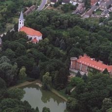
Church of the Nativity of the Virgin Mary in Görcsöny
36.3 km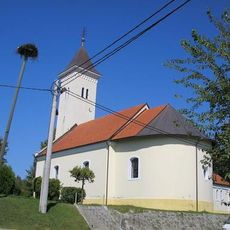
Szentháromság-templom
35.2 kmReviews
Visited this place? Tap the stars to rate it and share your experience / photos with the community! Try now! You can cancel it anytime.
Discover hidden gems everywhere you go!
From secret cafés to breathtaking viewpoints, skip the crowded tourist spots and find places that match your style. Our app makes it easy with voice search, smart filtering, route optimization, and insider tips from travelers worldwide. Download now for the complete mobile experience.

A unique approach to discovering new places❞
— Le Figaro
All the places worth exploring❞
— France Info
A tailor-made excursion in just a few clicks❞
— 20 Minutes