Bačka, Historical agricultural region between Danube and Tisza rivers in Hungary and Serbia
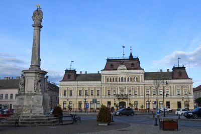
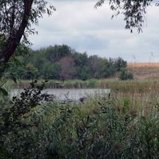
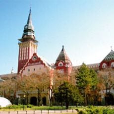
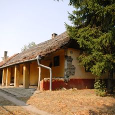
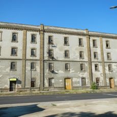
Bačka is a flat agricultural region spanning southern Hungary and northern Serbia, known for its fertile soil and network of rivers. The land is primarily used for growing corn, wheat, and sunflowers, punctuated by small towns connected by well-maintained roads and railway lines.
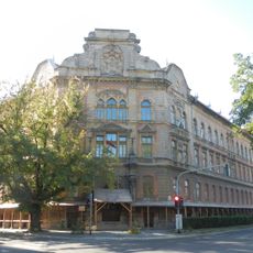
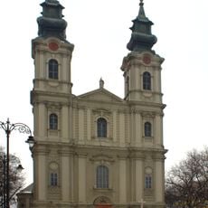
The region was under Ottoman and Austro-Hungarian rule for centuries before the Treaty of Trianon in 1920 split it between Hungary and the Kingdom of Serbs, Croats, and Slovenes. This division shaped a border that remains today and created two distinct political and cultural spheres.
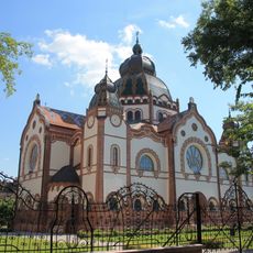
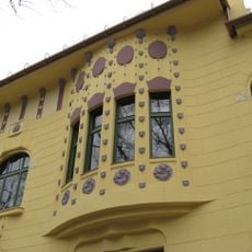
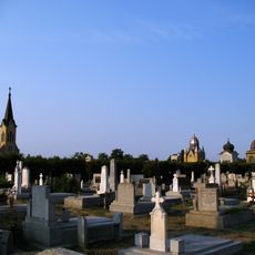
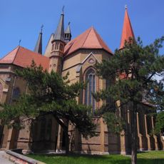
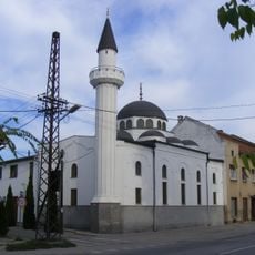
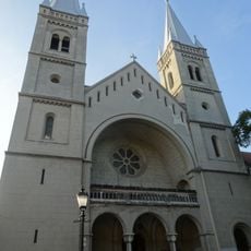
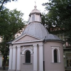
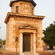
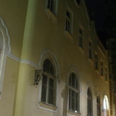
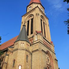
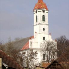
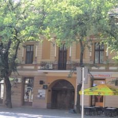
The region is home to Hungarians, Serbs, Slovaks, and Croats, each maintaining their own languages, traditional celebrations, and local customs. You notice this cultural diversity in the villages and in how people from different backgrounds share the same communities.
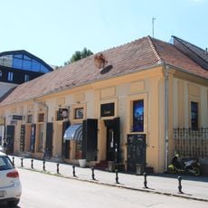
Spring and autumn are the best times to explore, when the climate is mild and the landscape is in full activity. The flat terrain makes it ideal for driving or cycling, and small roadside restaurants offer local food at every stop.
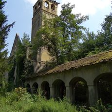
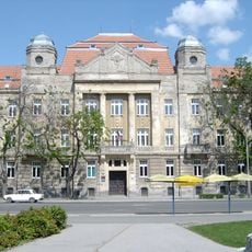
The town of Bač, which gave its name to the entire region, preserves a medieval fortress dating to the 14th century that once defended a border position. Today this castle stands somewhat isolated in the flat landscape, a remnant of when this location held strategic importance.
The community of curious travelers
AroundUs brings together thousands of curated places, local tips, and hidden gems, enriched daily by 60,000 contributors worldwide.