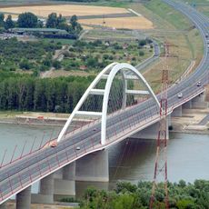
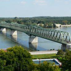
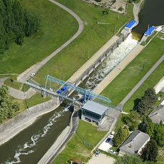
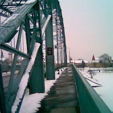
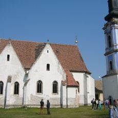
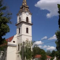
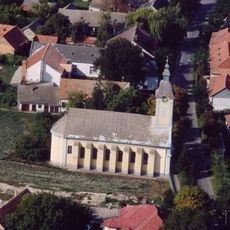
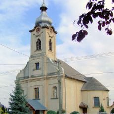
Dunaújváros District, district of Fejer, Hungary
Location: Fejér County
Inception: January 1, 2013
Capital city: Dunaújváros
Shares border with: Sárbogárd District, Gárdony District, Martonvásár District, Székesfehérvár District, Paks District, Kunszentmiklós District, Ráckeve District
GPS coordinates: 46.96667,18.93333
Latest update: March 28, 2025 12:26
Pentele Bridge
7.3 km
Transmitter Solt
16.5 km
Savoy Castle
22.6 km
József Beszédes Bridge
17.4 km
Castra Annamatia
11 km
Tass sluice
8 km
Zichy Mansion, Zichyújfalu
27 km
Fabó Éva Swimming Pool
990 m
Árpád Bridge in Ráckeve
21.7 km
Serbian Kovin Monastery
21.6 km
Dunaferr Arena
1.6 km
Aquantis wellness élményfürdő
1.1 km
Kostök-holtág
24.3 km
Szakáts Mansion and chapel in Bölcske
25.3 km
Upper Kiskunság alkaline steppes
19.9 km
Saint Emeric chapel in Zichyújfalu
26.6 km
Reformed Church in Dunavecse
6.1 km
Kalvinana preĝejo (Sárbogárd)
24.9 km
Evangélikus templom (Madocsa)
31.3 km
Saint John the Baptist Church in Ráckeve
21.4 km
Reformed Church
15.9 km
Kalvinana kirko
1.5 km
Dózsa Mozicentrum
650 m
Lutheran church in Apostag
9.5 km
Saint Michael Church in Pereg
23.5 km
Lutheran Church, Dunaföldvár
17.3 km
Church of the Nativity of the Virgin Mary, Előszállás
17.5 km
Iglesia de San Emerico de Hungría
22.6 kmReviews
Visited this place? Tap the stars to rate it and share your experience / photos with the community! Try now! You can cancel it anytime.
Discover hidden gems everywhere you go!
From secret cafés to breathtaking viewpoints, skip the crowded tourist spots and find places that match your style. Our app makes it easy with voice search, smart filtering, route optimization, and insider tips from travelers worldwide. Download now for the complete mobile experience.
A unique approach to discovering new places❞
— Le Figaro
All the places worth exploring❞
— France Info
A tailor-made excursion in just a few clicks❞
— 20 Minutes