Enable Location

We need your location to show you interesting places around you

Discover nearby places

Find interesting locations and hidden gems around you

Precise directions

Get accurate directions and distances to places

Your location is never shared with other users. It's only used when you tap the location button.

Fejér County

Log in to your account

Start exploring — it's free

Trusted by 62,050 travelers worldwide

Continue with Google
Continue with Apple
or

We will send you a code to connect

By continuing, you accept our Terms and Conditions and our Privacy Policy

Check your inbox

We've sent a pincode in your inbox. Please enter the code below.

Fejér County, Administrative county in Central Transdanubia, Hungary.

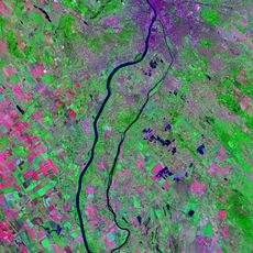
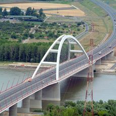
Fejér County is an administrative region in central Hungary covering roughly 4,350 square kilometers. The Danube River marks its boundary, while six neighboring counties including Veszprém and Pest form its borders.

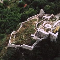
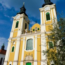
This region became important in the 11th century when its main city served as the coronation site for Hungarian kings. The Ottoman arrival later shifted its political role significantly.

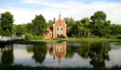
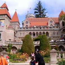
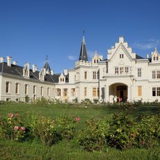
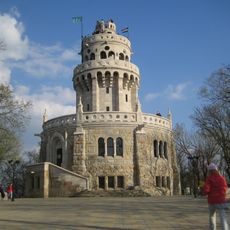
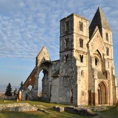
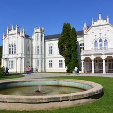
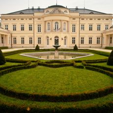
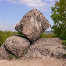
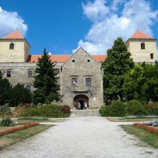
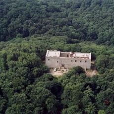
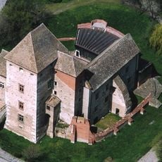
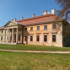
The area's name comes from an ancient river term that shaped the region's identity. Historic mansions scattered throughout the land reflect how local nobility once lived and ruled.

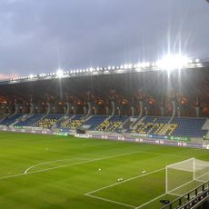
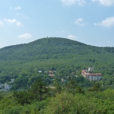
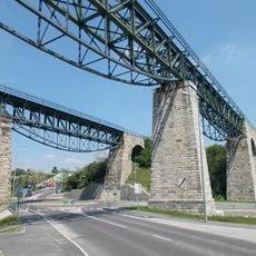
The region consists of eight administrative districts, with the main city serving as a major industrial hub. The area is well-developed and allows visitors to reach different historical sites and natural areas easily.

Within this area sits a shallow lake with mineral-rich waters that stand out from typical lakes. The water serves as a natural habitat and resting place for numerous bird species during migration.

The community of curious travelers

AroundUs brings together thousands of curated places, local tips, and hidden gems, enriched daily by 60,000 contributors worldwide.

Start exploring
Location
Inception
February 1, 1950
Capital city
Székesfehérvár
Part of
Central Transdanubia
Shares border with
Pest County, Komárom-Esztergom County, Veszprém County, Somogy County, Tolna County, Bács-Kiskun County
GPS coordinates
47.16667,18.58333
Latest update
December 20, 2025 00:22
« Fejér County - Administrative county in Central Transdanubia, Hungary » is provided by Around Us (aroundus.com). Images and texts are derived from Wikimedia project under a Creative Commons license. You are allowed to copy, distribute, and modify copies of this page, under the conditions set by the license, as long as this note is clearly visible.

Discover hidden gems everywhere you go!

From secret cafés to breathtaking viewpoints, skip the crowded tourist spots and find places that match your style. Our app makes it easy with voice search, smart filtering, route optimization, and insider tips from travelers worldwide. Download now for the complete mobile experience.

Around Us App Screenshot

A unique approach to discovering new places

Le Figaro

All the places worth exploring

France Info

A tailor-made excursion in just a few clicks

20 Minutes

Around Us
Travel Guide & Maps
Download

Send to your phone

QR Code
1

Open the camera app on your mobile.

2

Point at the QR code with your camera. A notification will appear.

3

Tap the notification to open the link.