
Castra of Budapest-Albertfalva, Roman fort
Location: Budapest District XI
Part of: Pannonian Limes
GPS coordinates: 47.43920,19.04680
Latest update: April 19, 2025 13:11
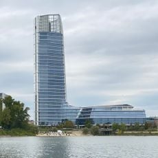
MOL Campus
3.3 km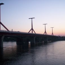
Rákóczi Bridge
3.6 km
Constitution Protection Office
3 km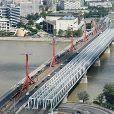
Connective Railway Bridge
3.6 km
Pesterzsébeti Jódos-Sós Gyógy-és Strandfürdő
3.3 km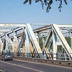
Gubacsi Bridge
3.2 km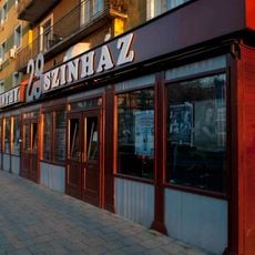
Karinthy Theatre
3.7 km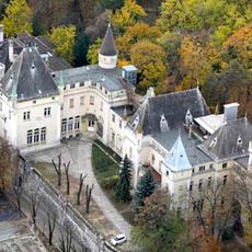
Törley Mansion, Budapest
1.4 km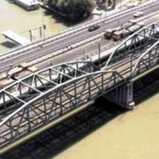
Kvassay Bridge
3.1 km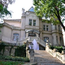
Sacelláry Castle
1.4 km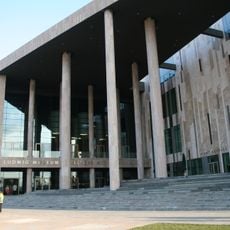
Ludwig Museum Budapest
3.8 km
Budapest Wholesale
3.4 km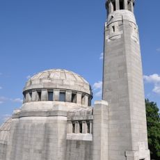
Törley Mausoleum
1.4 km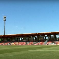
Promontor utcai Stadion
2.4 km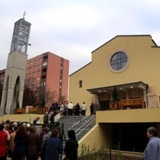
Beatified Zoltán Meszlényi church
2.7 km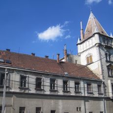
Czuba-Durozier Mansion, Budapest-Budafok
1.5 km
Budafok cave dwelling
2.5 km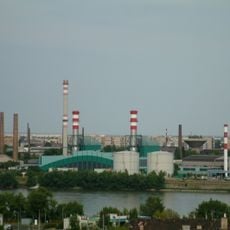
Freeport of Budapest
3.5 km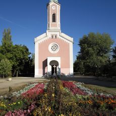
Church of the Nativity of the Virgin Mary, Csepel
1.7 km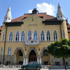
Town Hall, Budafok
1.5 km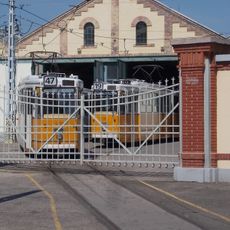
Kelenföld tram depot
3.8 km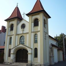
Saint Sabina church in Péterhegy, Budapest District XI
2.6 km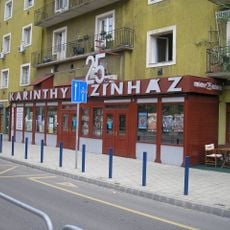
Bartók Béla út 130.
3.7 km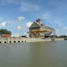
MAHART Gabonatárház
1.4 km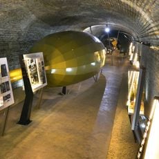
Törley Sparkling Wine Cellar
1.3 km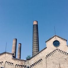
Csepel Művek főbejárat
1.7 km
Műszaki Tanulmánytár
3.3 km
Reformed Church Budafok
1.2 kmReviews
Visited this place? Tap the stars to rate it and share your experience / photos with the community! Try now! You can cancel it anytime.
Discover hidden gems everywhere you go!
From secret cafés to breathtaking viewpoints, skip the crowded tourist spots and find places that match your style. Our app makes it easy with voice search, smart filtering, route optimization, and insider tips from travelers worldwide. Download now for the complete mobile experience.

A unique approach to discovering new places❞
— Le Figaro
All the places worth exploring❞
— France Info
A tailor-made excursion in just a few clicks❞
— 20 Minutes