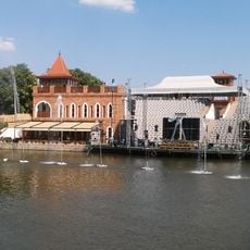
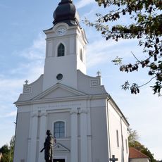
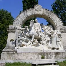
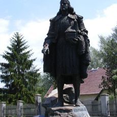
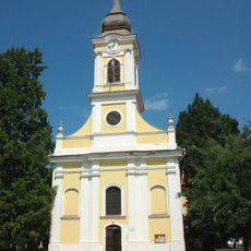
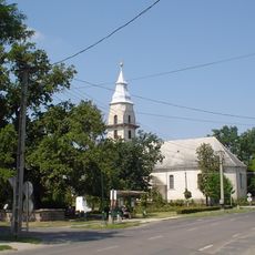
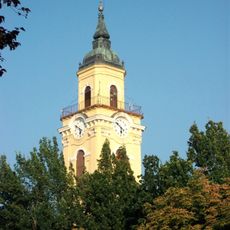
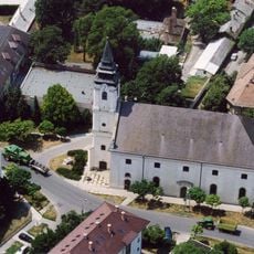
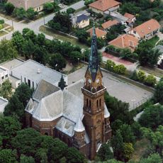
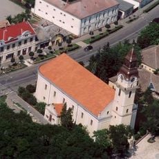
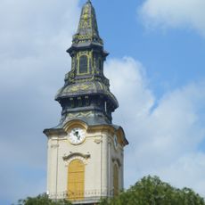
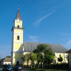
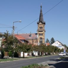
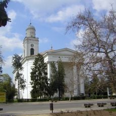
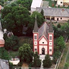
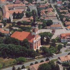
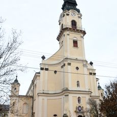
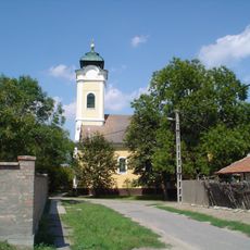
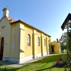
Mezőtúr District, district of Hungary
Location: Jász-Nagykun-Szolnok County
Inception: January 1, 2013
Capital city: Mezőtúr
Shares border with: Kunszentmárton District, Szolnok District, Törökszentmiklós District, Karcag District, Gyomaendrőd District, Szarvas District
GPS coordinates: 47.03333,20.58333
Latest update: March 5, 2025 06:46
Szolnok Castle
32.7 km
Mini Magyarország
17.7 km
Békésszentandrás Weir
17.1 km
Museum of Hungarian Aviation
29.6 km
Ottoman bridge in Szolnok
32.7 km
Gödény-halom
26.7 km
"Szarvasi" Water Theater
19.4 km
Tiszaligeti Stadion
32.7 km
Our Lady of Hungary Church, Szolnok
32.6 km
János Damjanich memorial by Béla Radnai
32.7 km
Statue of Stephen I of Hungary by Sándor Györfi
27 km
City Library of Szarvas
18.6 km
Saint Clare of Assisi Church, Szarvas
19.3 km
Református templom (Tiszaföldvár)
25.9 km
Reformed church in Gyoma
21.5 km
Tiszazugi Földrajzi Múzeum
25.8 km
Old Lutheran church, Szarvas
19 km
Great Lutheran Church (Szarvas)
19.4 km
Reformed Church in Kisújszállás
24.4 km
Reformed Church, Túrkeve
14.6 km
Reformed Church, Törökszentmiklós
20.7 km
Sacred Heart Church, Gyoma
12.8 km
Reformed Church (Mezőtúr)
5 km
Roman Catholic church, Tiszaföldvár
25.8 km
Saint Emeric Church, Endrőd
18.2 km
Saint Martin Church in Kunszentmárton
31.6 km
Mindenszentek Templom
30 km
Szent Orbán-templom
29.9 kmReviews
Visited this place? Tap the stars to rate it and share your experience / photos with the community! Try now! You can cancel it anytime.
Discover hidden gems everywhere you go!
From secret cafés to breathtaking viewpoints, skip the crowded tourist spots and find places that match your style. Our app makes it easy with voice search, smart filtering, route optimization, and insider tips from travelers worldwide. Download now for the complete mobile experience.
A unique approach to discovering new places❞
— Le Figaro
All the places worth exploring❞
— France Info
A tailor-made excursion in just a few clicks❞
— 20 Minutes