Enable Location

We need your location to show you interesting places around you

Discover nearby places

Find interesting locations and hidden gems around you

Precise directions

Get accurate directions and distances to places

Your location is never shared with other users. It's only used when you tap the location button.

Zsíros-hegyi turistaház

Log in to your account

Start exploring — it's free

Trusted by 62,060 travelers worldwide

Continue with Google
Continue with Apple
or

We will send you a code to connect

By continuing, you accept our Terms and Conditions and our Privacy Policy

Check your inbox

We've sent a pincode in your inbox. Please enter the code below.

Zsíros-hegyi turistaház

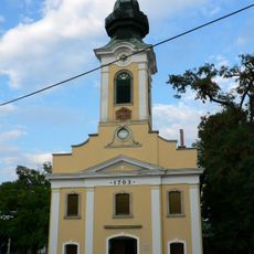
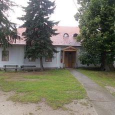
Zsíros-hegyi turistaház, Mountain shelter between Nagykovácsi and Solymár, Hungary

Zsíros-hegyi turistaház is a mountain shelter situated on a hill between Nagykovácsi and Solymár at about 420 meters elevation. The main building contained two restaurants and offered sleeping quarters for approximately 40 guests.

The shelter was built in December 1928 by the Friday Table group of the Hungarian Tourist Association and named after Vencel Fritsch. It received renovations in 1935 and a scout center addition in 1936, ceasing operations by 1986.

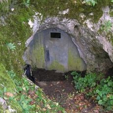
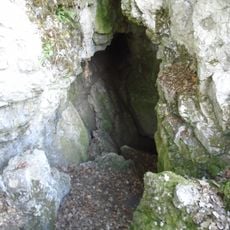
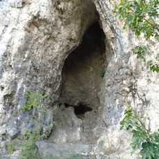
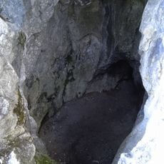
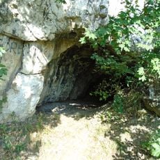
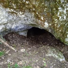
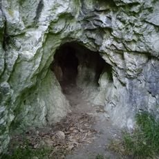
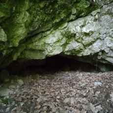
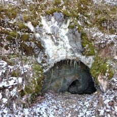
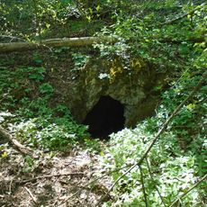
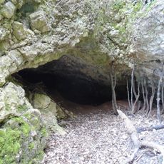
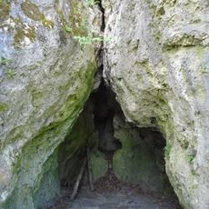
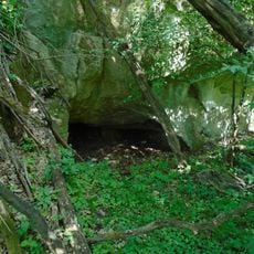
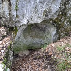
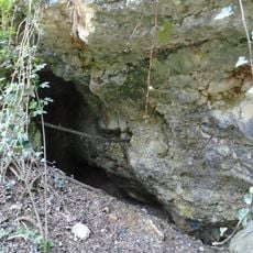
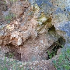
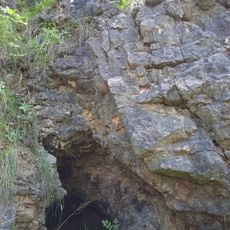
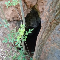
The facility served as a central meeting point for the Hungarian Speleological Society, providing equipment and access keys for exploring the nearby Solymár Devil's Cave.

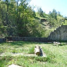
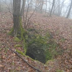
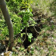
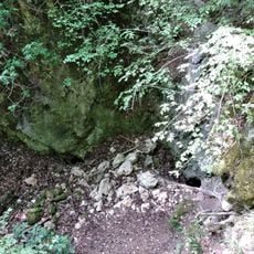
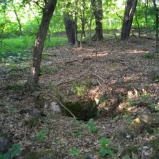
The location lies away from main roads and requires some walking to reach. Visitors should come prepared with hiking shoes and basic gear, as only ruins remain today.

The Hungarian Speleological Society used the site as a hub for cave exploration, providing access to the nearby Solymár Devil's Cave. A memorial on the northern peak honors István Kauzál, the table society president.

The community of curious travelers

AroundUs brings together thousands of curated places, local tips, and hidden gems, enriched daily by 60,000 contributors worldwide.

Start exploring
Official opening
December 1928
Elevation above the sea
420 m
GPS coordinates
47.59028,18.90083
Latest update
December 14, 2025 14:45
« Zsíros-hegyi turistaház - Mountain shelter between Nagykovácsi and Solymár, Hungary » is provided by Around Us (aroundus.com). Images and texts are derived from Wikimedia project under a Creative Commons license. You are allowed to copy, distribute, and modify copies of this page, under the conditions set by the license, as long as this note is clearly visible.

Discover hidden gems everywhere you go!

From secret cafés to breathtaking viewpoints, skip the crowded tourist spots and find places that match your style. Our app makes it easy with voice search, smart filtering, route optimization, and insider tips from travelers worldwide. Download now for the complete mobile experience.

Around Us App Screenshot

A unique approach to discovering new places

Le Figaro

All the places worth exploring

France Info

A tailor-made excursion in just a few clicks

20 Minutes

Around Us
Travel Guide & Maps
Download

Send to your phone

QR Code
1

Open the camera app on your mobile.

2

Point at the QR code with your camera. A notification will appear.

3

Tap the notification to open the link.