
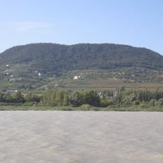
Historic quarter of Balatonfüred, исторический квартал Балатонфюреда
Location: Balatonfüred
Part of: Balaton Uplands Cultural Landscape
GPS coordinates: 46.95440,17.89380
Latest update: March 10, 2025 21:00

Balaton Uplands National Park
3.6 km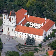
Tihany Abbey
4.5 km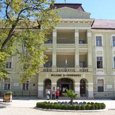
State Heart Hospital, Balatonfüred
211 m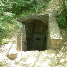
Lóczy Cave
2.3 km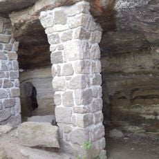
Barátlakások
3.7 km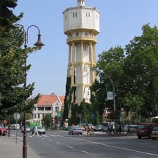
Water tower of Siófok
13.2 km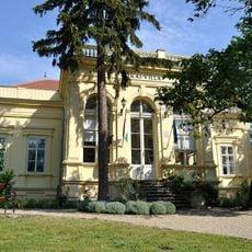
Casa memorială Mór Jókai din Balatonfüred
146 m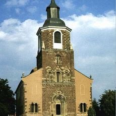
Penitent Mary Magdalene Church in Felsőörs
8 km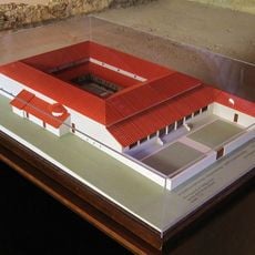
Villa Romana Baláca
10.1 km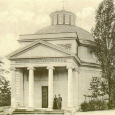
Round church in Balatonfüred
105 m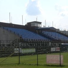
Révész Street Stadium
13.7 km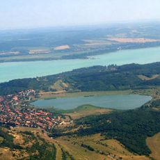
Tihanyi-szoros
7.9 km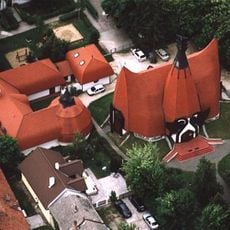
Lutheran church
13.6 km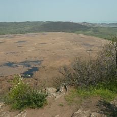
Outer lake (Tihany)
5 km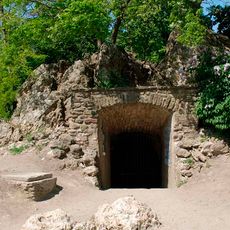
Tihanyi Forrás Cave
4.5 km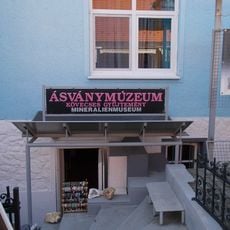
Ásványmúzeum (Siófok)
13.1 km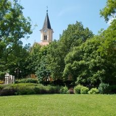
Church of the Visitation
13.3 km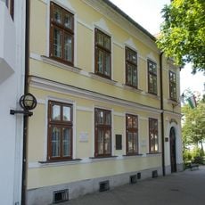
Emmerich Kálmán Memorial House
13.1 km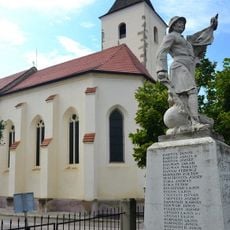
Preĝejo Sankta Kruco (Kőröshegy)
13.6 km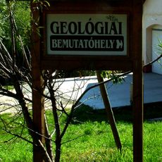
Felsőörs Forrás-hegyi geológiai bemutatóhely
8 km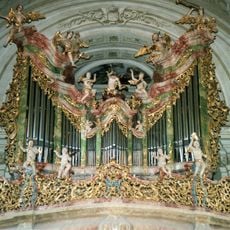
Pipe organ of the Tihany Abbey
4.5 km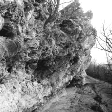
Nyereg-hegyi Cave
5.8 km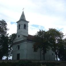
Saint Martin Church (Balatonudvari)
8.6 km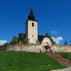
Reformed Church (Vörösberény)
13.5 km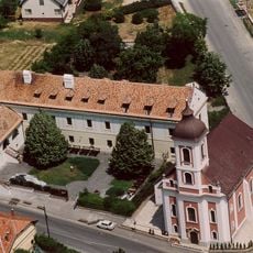
Saint Ignatius of Loyola Church and jesuit monastery in Vörösberény (Balatonalmádi)
13.4 km
Reformed Church, Alsóörs
7.2 km
Category:Holy Cross church (Balatonföldvár)
11.4 km
Kálmán Imre Szabadtéri Színpad
12.9 kmReviews
Visited this place? Tap the stars to rate it and share your experience / photos with the community! Try now! You can cancel it anytime.
Discover hidden gems everywhere you go!
From secret cafés to breathtaking viewpoints, skip the crowded tourist spots and find places that match your style. Our app makes it easy with voice search, smart filtering, route optimization, and insider tips from travelers worldwide. Download now for the complete mobile experience.

A unique approach to discovering new places❞
— Le Figaro
All the places worth exploring❞
— France Info
A tailor-made excursion in just a few clicks❞
— 20 Minutes