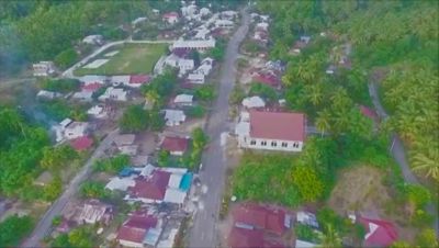
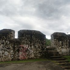
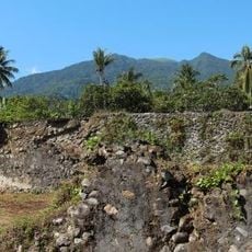
Modisi, village in South Bolaang Mongondow Regency, North Sulawesi, Indonesia
Location: East Pinolosian
Inception: May 11, 2006
Elevation above the sea: 43 m
Shares border with: South Onggunoi, Posilagon, Perjuangan, Molucca Sea
Website: https://en.wikipedia.org/wiki/Modisi
GPS coordinates: 0.45039,124.43525
Latest update: March 23, 2025 20:05
Bunaken
137.5 km
Kentur Lokon
109.5 km
Gunung Soputanpatepangan
80.5 km
Kepulauan Togean National Park
287.1 km
Sha'ar Hashamayim Synagogue (Tondano)
109 km
Mount Klabat
129.8 km
Otanaha Fortress
159.2 km
Tangkoko Batuangus Nature Reserve
145.3 km
Mount Mahawu
111.5 km
Fort Kastella
322.1 km
Banua Wuhu
320.3 km
Bogani Nani Wartabone National Park
85 km
Colo
322.2 km
Mount Tondano
97.3 km
Ruang
230.7 km
Ban Hin Kiong Temple
124.8 km
Mount Tongkoko
145.4 km
Mount Empung
108.6 km
Pantai Indah Modisi
455 m
Mercy Waterpark
116.4 km
Tompaluan
109.5 km
Museum dan Monumen Pendaratan Pesawat Ampibi Catalina
160.7 km
Gereja GMIBM Efrata Modisi
83 m
Bulud Kanari
824 m
Taman Nasional Hutan Mangrove
412 m
Modisi Beach
1.9 km
Gereja GPDI Modisi
374 m
MM Watersports And Dive Kalasey Satu
118.6 kmReviews
Visited this place? Tap the stars to rate it and share your experience / photos with the community! Try now! You can cancel it anytime.
Discover hidden gems everywhere you go!
From secret cafés to breathtaking viewpoints, skip the crowded tourist spots and find places that match your style. Our app makes it easy with voice search, smart filtering, route optimization, and insider tips from travelers worldwide. Download now for the complete mobile experience.
A unique approach to discovering new places❞
— Le Figaro
All the places worth exploring❞
— France Info
A tailor-made excursion in just a few clicks❞
— 20 Minutes