
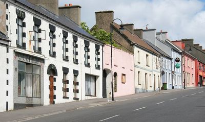
Ballycastle, County Mayo, human settlement
Location: County Mayo
Elevation above the sea: 78 m
GPS coordinates: 54.28330,-9.36670
Latest update: March 3, 2025 11:47
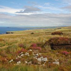
Céide Fields
6.5 km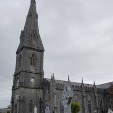
St. Muredack's Cathedral
23.6 km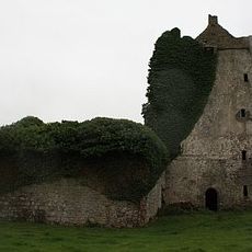
Deel Castle
20.8 km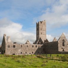
Moyne Abbey
15.3 km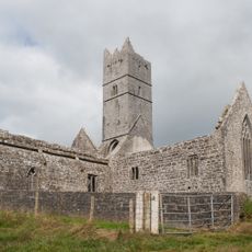
Rosserk Friary
19.1 km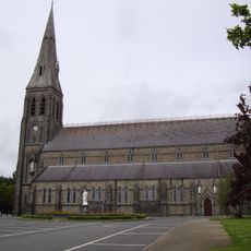
Cathedral of the Annunciation of the Blessed Virgin Mary and St Nathy, Ballaghaderreen
23.6 km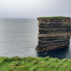
Dun Briste Sea Stack
5.1 km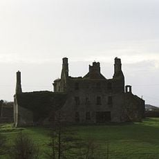
Rappa Castle
18.3 km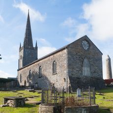
St Patrick's Cathedral, Killala
12.4 km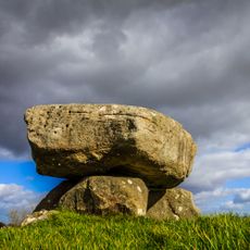
Dolmen of the Four Maols
23.6 km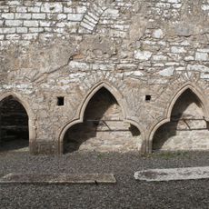
Rathfran Priory
9.4 km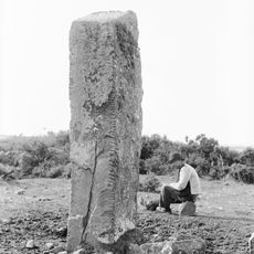
Breastagh Ogham Stone
8.4 km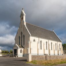
St Paul's Church, Glenamoy
19 km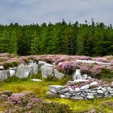
Rathlacken
5.6 km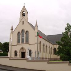
Ballycastle Church
557 m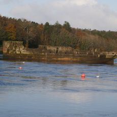
SS Creteboom
22.6 km
St Paul's Church, Glenamoy
19 km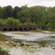
Palmerstown Bridge
9.1 km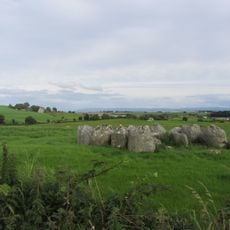
Rathfranpark Tomb
8.7 km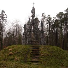
Belleek Manor-Knox-Gore Monument
22.3 km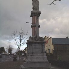
Humbert Memorial Monument
23.2 km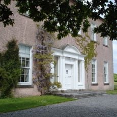
Enniscoe House
24 km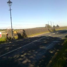
Bellacorick Bridge
22.9 km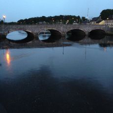
Lower Bridge
23.5 km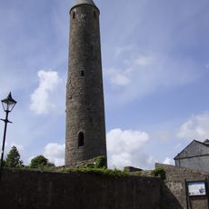
Killala Round Tower
12.3 km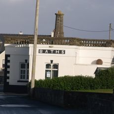
Kilcullen's Seaweed Baths
19.1 km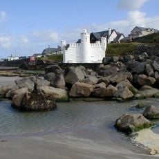
Cliff Baths
19.2 km
Rathlackan Tomb
5.6 kmVisited this place? Tap the stars to rate it and share your experience / photos with the community! Try now! You can cancel it anytime.
Discover hidden gems everywhere you go!
From secret cafés to breathtaking viewpoints, skip the crowded tourist spots and find places that match your style. Our app makes it easy with voice search, smart filtering, route optimization, and insider tips from travelers worldwide. Download now for the complete mobile experience.

A unique approach to discovering new places❞
— Le Figaro
All the places worth exploring❞
— France Info
A tailor-made excursion in just a few clicks❞
— 20 Minutes