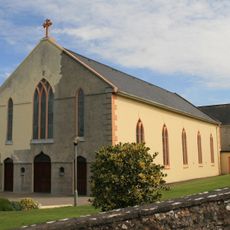
Ballyhoura Mountains, Mountain range and Special Area of Conservation in Counties Limerick and Cork, Ireland.
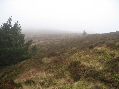
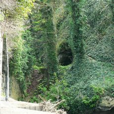
The Ballyhoura Mountains form a ridge across the border of Limerick and Cork counties, with Seefin serving as the highest point of the range. The mountains are covered in open heathland and blanket bog, creating rolling terrain with few trees.
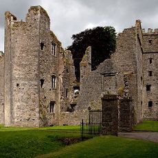
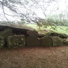
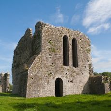
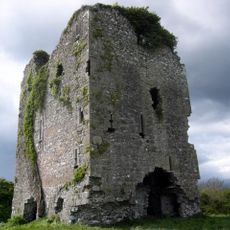
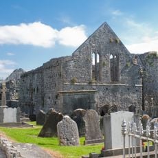
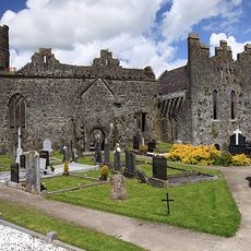
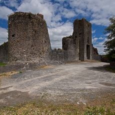
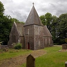
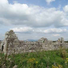
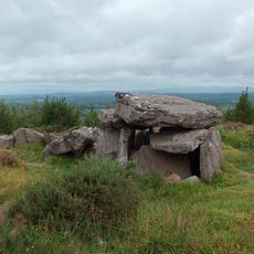
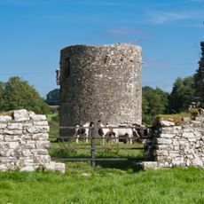
The name comes from an old Irish expression meaning a mountain pass, reflecting its role as a historic route through the landscape. Human activity in the area extends back thousands of years, with early communities choosing these mountains as a place to settle.
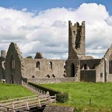
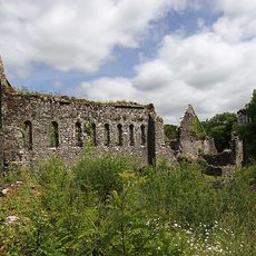
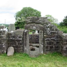
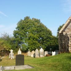
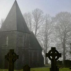
The mountains have been inhabited for thousands of years, with evidence of early settlements scattered across the slopes. Walking through the area, you may notice remnants and burial sites that show how people once lived in this remote landscape.
The range has a network of trails suitable for walking and mountain biking, with routes for different skill levels across the mountains. The open terrain means there is little shelter from wind or weather, so plan accordingly and wear appropriate clothing for changeable conditions.
The mountains support rare plant species like hare's-tail cottongrass and crowberry that thrive in the bog and heathland ecosystems. These specialized plants are perfectly suited to the wet, windy conditions and create a distinct natural character found nowhere else nearby.
The community of curious travelers
AroundUs brings together thousands of curated places, local tips, and hidden gems, enriched daily by 60,000 contributors worldwide.