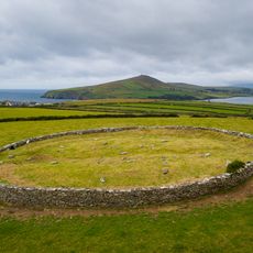
Mount Brandon, Mountain range in County Kerry, Ireland
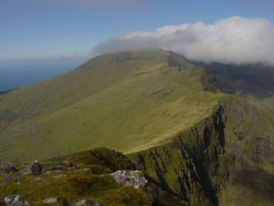
Mount Brandon is a mountain in County Kerry rising to 952 meters with contrasting terrain on different sides. Its eastern face drops steeply while its western slopes descend more gradually.
The mountain witnessed several aircraft crashes during World War II involving both Allied and Axis planes. Local memorials now mark these wartime events.
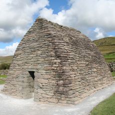
The mountain bears the name of Saint Brendan the Navigator, a figure deeply connected to this region's spiritual traditions and maritime heritage. Pilgrims still visit the summit shrine today, keeping these religious connections alive.
Two main hiking paths reach the summit: the Saint's Route from Ballybrack takes three to four hours while the Faha Route takes four to five hours. Choose based on your fitness level and how much daylight you have available.
The eastern corrie holds a series of small lakes formed by ancient glacial activity. These lakes sit within distinctive Old Red Sandstone formations that give the area its unusual appearance.
The community of curious travelers
AroundUs brings together thousands of curated places, local tips, and hidden gems, enriched daily by 60,000 contributors worldwide.