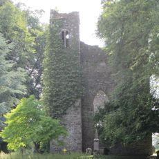
Porch Fields, Archaeological site in Trim, Ireland
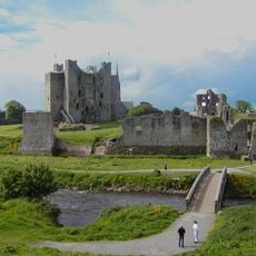
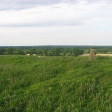
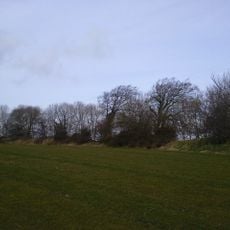
Porch Fields is a strip of medieval farmland and a sunken lane about 1 km long on the north bank of the River Boyne in Trim, running between the old town wall and Sheep Gate to the west and Newtown Abbey to the east. The lane connected the Anglo-Norman town of Trim, founded c. 1180, with the rural borough of Newtown Trim, founded c. 1220. The field preserves ridge-and-furrow cultivation strips, each one perch (about 5 m) wide.
The Porch Fields lie between the Anglo-Norman town of Trim, founded around 1180, and the rural borough of Newtown Trim, founded around 1220. New burgesses were each granted 3 acres, which they worked in narrow ridge-and-furrow strips one perch (about 5 m) wide. A sunken medieval lane roughly 1 km long linked the two towns across the open field. It is claimed Cromwell's troops camped here before the 1649 Siege of Drogheda.
The name may come from the perch, the 5 m (16 ft) strip each burgess farmed, or from the French porte, meaning door, after the nearby Sheep Gate; a nineteenth-century map labels it "Portual Field". The new burgesses of Newtown Trim, founded c. 1220, each received 3 acres (1.2 ha) worked in ridge and furrow.
The medieval sunken lane runs about 1 km (0.6 mi) between the old town wall and Sheep Gate on the west and Newtown Abbey on the east, all on the north bank of the River Boyne. Walk it end to end to follow the route the two towns were linked by.
The name may come from the French word porte meaning door, or from the old measurement unit perch, which was about five meters per land strip. These two possible origins show how history and practical land measurement became woven into the name of this place.
The community of curious travelers
AroundUs brings together thousands of curated places, local tips, and hidden gems, enriched daily by 94,048 contributors worldwide.