Chest opened
+${chestReward.xp} XP
Explorer
NOUVEAU ×${chestReward.collectible.quantity}
tapez pour fermer

See the monuments around you in AR Open chests in the app

Around Us is built for your phone — point your camera at the streets and discover the monuments and places around you in augmented reality. Around Us is built for your phone — chests unlock when you walk, explore and capture nearby places.

•

Enable Location

We need your location to show you interesting places around you

Discover nearby places

Find interesting locations and hidden gems around you

Precise directions

Get accurate directions and distances to places

Your location is never shared with other users. It's only used when you tap the location button.

Rath Meave

Log in to your account

Start exploring — it's free

Trusted by 92,644 travelers worldwide

Continue with Google
Continue with Apple
or

We will send you a code to connect

By continuing, you accept our Terms and Conditions and our Privacy Policy

Check your inbox

We've sent a pincode in your inbox. Please enter the code below.

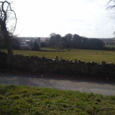
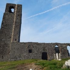
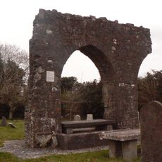
Rath Meave, Henge in County Meath, Ireland

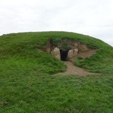
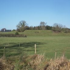
Rath Meave is a henge: a roughly circular earthen bank and ditch about 700 metres around, enclosing some 4 hectares in the Tara-Skryne Valley, 1.3 km south of the Hill of Tara. A gap on the north side of the bank is taken to be the entrance, and it faces the Mound of the Hostages.

Rath Meave dates to the fourth phase of Tara's construction, in the early Bronze Age (c. 2000–1500 BC), around the same time the Mound of the Hostages was used for burials. Its bank has a cut on the north side, presumably the entrance, aligned with that older mound.

Rath Meave is named after Medb Lethderg, a sovereignty goddess said in Irish legend to have been wife or lover of nine successive Kings of Tara. Her link to Medb of Cruachan, the Connacht queen, is uncertain: they may be the same figure or one inspired the other. The name Medb means "intoxicator" and is cognate with "mead", pointing to alcohol used in ceremonies joining king and goddess.

Rath Meave lies in open farmland 1.3 km south of the Hill of Tara and 3.4 km east of Kilmessan, reached by minor roads and field tracks. The bank is about 700 m around and the ground uneven, so sturdy footwear helps. The presumed entrance is the cut on the north side, aligned with the Mound of the Hostages.

The name Medb means "intoxicator" and relates to mead, revealing details about the ceremonial practices and celebrations that took place here. This linguistic connection offers insight into how ancient communities used ritual beverages in their sacred gatherings.

The community of curious travelers

AroundUs brings together thousands of curated places, local tips, and hidden gems, enriched daily by 92,644 contributors worldwide.

Start exploring
GPS coordinates
53.56672,-6.60907
Latest update
October 25, 2026 01:05
Reviews
Share your experience

No review yet

Discussions
Start a discussion...

No discussion yet

« Rath Meave - Henge in County Meath, Ireland » is provided by Around Us (aroundus.com). Images and texts are derived from Wikimedia project under a Creative Commons license. You are allowed to copy, distribute, and modify copies of this page, under the conditions set by the license, as long as this note is clearly visible.

Discover hidden gems everywhere you go!

From secret cafés to breathtaking viewpoints, skip the crowded tourist spots and find places that match your style. Our app makes it easy with voice search, smart filtering, route optimization, and insider tips from travelers worldwide. Download now for the complete mobile experience.

Around Us App Screenshot
❝

A unique approach to discovering new places❞

— Le Figaro

❝

All the places worth exploring❞

— France Info

❝

A tailor-made excursion in just a few clicks❞

— 20 Minutes

Around Us
Travel Guide & Maps
Download

Send to your phone

QR Code
1

Open the camera app on your mobile.

2

Point at the QR code with your camera. A notification will appear.

3

Tap the notification to open the link.