
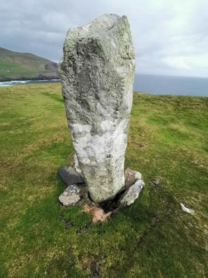
CIIC 178, Ogham Stone, Ireland
Location: County Kerry
Inscription: ERC MAQI MAQI-ERCIAS MU DOVINIA
Part of: Collection of Ogham Stones, Ogi-Ogham Project, Irish ᚑᚌᚆᚐᚋ Stones in the Wikimedia Universe
GPS coordinates: 52.11025,-10.47318
Latest update: November 3, 2025 18:15
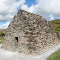
Gallarus Oratory
10.9 km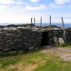
Dunbeg Fort
4.5 km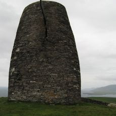
Eask Tower
13.1 km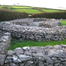
Reask
8.6 km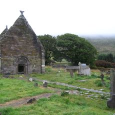
Kilmalkedar
12.5 km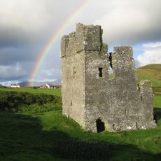
Rahinnane Castle
7.2 km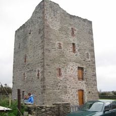
Gallarus Castle
10.8 km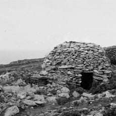
Glanfahan
2.9 km
Temple-Managhan
10.9 km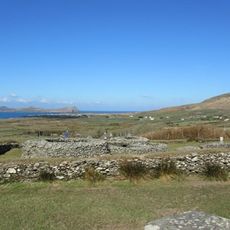
Caherdorgan North
11.9 km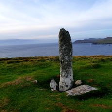
Coumeenoole North/Com Dhíneol Thuaidh
261 m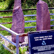
Oghamsteine von Coláiste Íde
11.5 km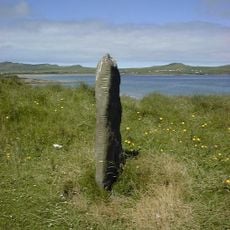
Ballinrannig Stone
9.6 km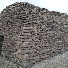
St. Brendan's Oratory
12.4 km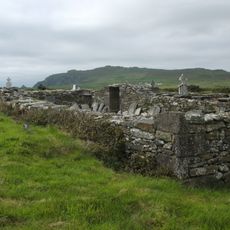
Dunurlin Graveyard
7.5 km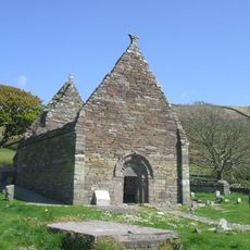
Kilmalkedar Church
12.5 km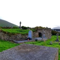
Dunquin Old Church
3.2 km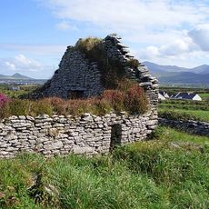
Ballywiheen Church
7.7 km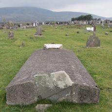
Ventry Graveyard
6.6 km
178 (Ogham Stone Concept by the Research Squirrel Ogham Project)
1 m
St Mary's Church
14.3 km
178. Coumeenole (Ogham Stone Concept by the Ogham in 3D Project)
34 m
COUME/1 (Ogham Stone Concept by CISP)
365 m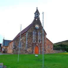
St Vincent's Church
7.8 km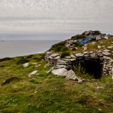
Inishtooskert Early Medieval Ecclesiastical Site
7.2 km
Dún an Óir
9.8 km
Séipéal Chaitlín Naofa
6.7 km
Coumeenoole Stone
9 mReviews
Visited this place? Tap the stars to rate it and share your experience / photos with the community! Try now! You can cancel it anytime.
Discover hidden gems everywhere you go!
From secret cafés to breathtaking viewpoints, skip the crowded tourist spots and find places that match your style. Our app makes it easy with voice search, smart filtering, route optimization, and insider tips from travelers worldwide. Download now for the complete mobile experience.

A unique approach to discovering new places❞
— Le Figaro
All the places worth exploring❞
— France Info
A tailor-made excursion in just a few clicks❞
— 20 Minutes