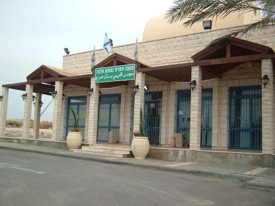
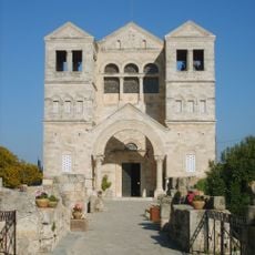
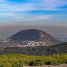
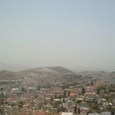
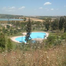
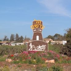
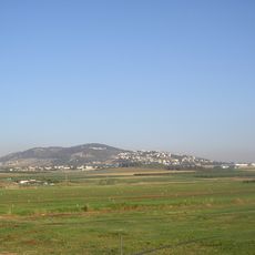
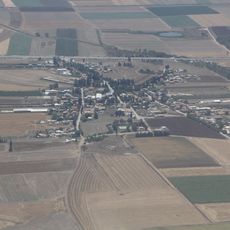
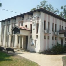
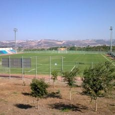
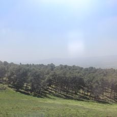
Bustan al-Marj Regional Council, regional council of Israel
Location: Jezreel Subdistrict
Website: https://bostanalmarj.co.il
GPS coordinates: 32.61957,35.34336
Latest update: June 15, 2025 13:50
Mount Tabor
8.7 km
Skhul and Qafzeh hominids
8 km
Tel Jezreel
7 km
Church of the Transfiguration
8.8 km
Kloster S. Salvator auf dem Berg Tabor
8.7 km
Har Kdumim
8.2 km
Well of Harod
8 km
Tel Adashim
5.6 km
Givat HaMoreh
564 m
Balfouria
4.6 km
Avital
7.7 km
Afula Illit Stadium
2.6 km
Ein Harod museum of art
8 km
The Large Yard at Merhavia
3.6 km
Kfar Yeladim
2.3 km
Beit Shturman museum
8.2 km
Dvora mountain
9.1 km
Elijah the Prophet Church on Mount Tabor
8.8 km
Kfir Brigade Monument in Afula
3.4 km
Tel Afula
5.2 km
Mishkan Museum of Art, Ein Harod
8 km
Dining room in Ginegar
9.5 km
Great synagogue "Beth Shalom", Afula
5.5 km
Our Lady of the Fright
8.9 km
Rezerwat przyrody Giwat ha-More
1.7 km
Afula Military Cemetery
6.2 km
Growth
8.4 km
Untitled
8.3 kmReviews
Visited this place? Tap the stars to rate it and share your experience / photos with the community! Try now! You can cancel it anytime.
Discover hidden gems everywhere you go!
From secret cafés to breathtaking viewpoints, skip the crowded tourist spots and find places that match your style. Our app makes it easy with voice search, smart filtering, route optimization, and insider tips from travelers worldwide. Download now for the complete mobile experience.
A unique approach to discovering new places❞
— Le Figaro
All the places worth exploring❞
— France Info
A tailor-made excursion in just a few clicks❞
— 20 Minutes