
Har Eger, mountain in Israel
Elevation above the sea: 506 m
Part of: Upper Galilee
GPS coordinates: 33.01732,35.25271
Latest update: June 16, 2025 00:22
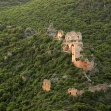
Montfort Castle
3.9 km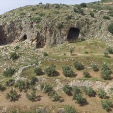
HaYonim Cave
11.3 km
Tel Kabri
10.7 km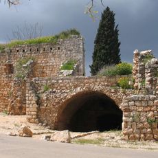
Yehi'am Fortress National Park
3.9 km
Tomb of Nabi Sabalan
8.3 km
Migdal Tefen
5 km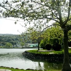
Monfort Lake
3.8 km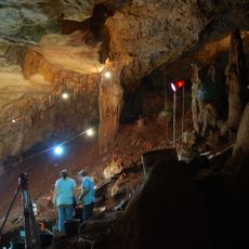
Manot Cave
5.9 km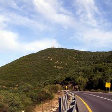
Jebel Adathir
11.3 km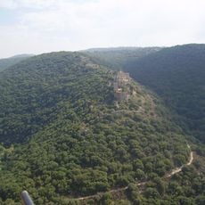
Goren Park
4.6 km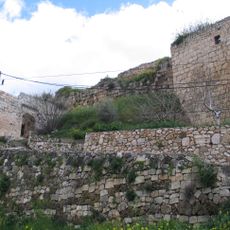
King's Castle
1.1 km
האיש שבקיר
3.2 km
El Mona Garden
10.2 km
Open Museum Tefen
4.6 km
Hurvat Manot
10.1 km
Yechiam Convoy Memorial
11.2 km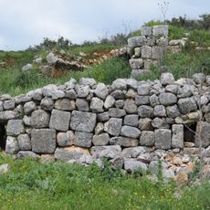
Khirbet Mehoz
7.6 km
Hirbet Danila
5.5 km
German-Speaking Jewry Heritage Museum Tefen
4.5 km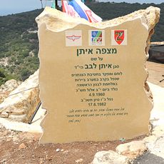
Mitzpeh Eitan
9 km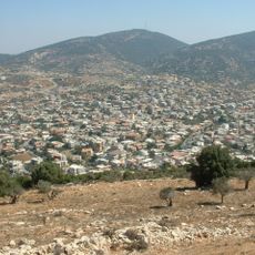
Har Zevul
8.3 km
Hanita Wall and Tower Museum
10.7 km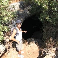
Tefen cave
6.7 km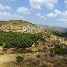
Tel Avdon
9.1 km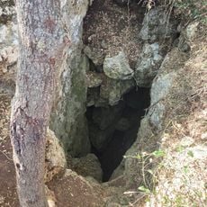
מערת רהב
8.8 km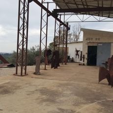
Atelier Shemi
9.8 km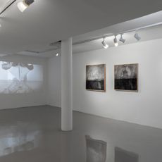
Kabri gallery
9.8 km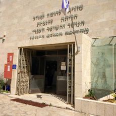
Wall and Tower
10.9 kmVisited this place? Tap the stars to rate it and share your experience / photos with the community! Try now! You can cancel it anytime.
Discover hidden gems everywhere you go!
From secret cafés to breathtaking viewpoints, skip the crowded tourist spots and find places that match your style. Our app makes it easy with voice search, smart filtering, route optimization, and insider tips from travelers worldwide. Download now for the complete mobile experience.

A unique approach to discovering new places❞
— Le Figaro
All the places worth exploring❞
— France Info
A tailor-made excursion in just a few clicks❞
— 20 Minutes