שביל הראשונים כפר סבא, Weg in Israel
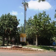
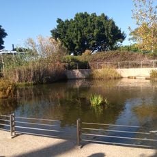
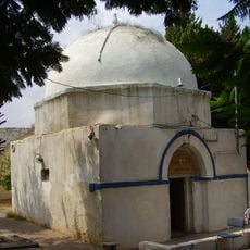
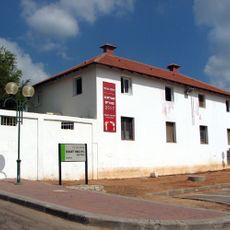
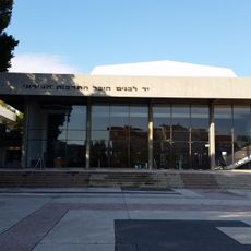
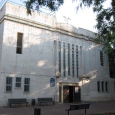
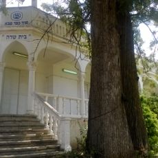
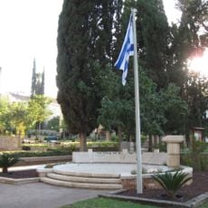
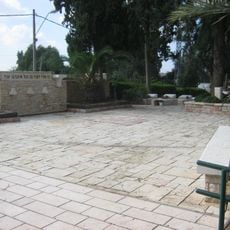
This hiking trail in Kfar Saba passes through historically important sites and tells the city's story through its buildings and places. The route connects various points including the Beit Sapir cultural center, old cemeteries, and houses from the early settlement period.
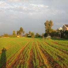
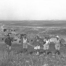
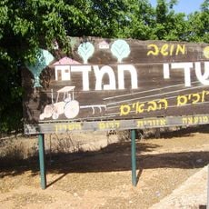
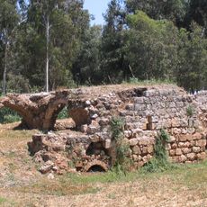
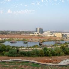
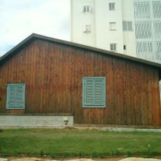
Kfar Saba was founded in 1903 and grew from early orchard settlements in the region. The trail shows remains from this period and marks the city's transformation from an agricultural village to a developed settlement.
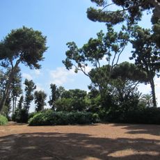
The trail connects places that held meaning for the city's founders and early residents. Visitors can see the buildings and spaces where these people lived and worked throughout the years.
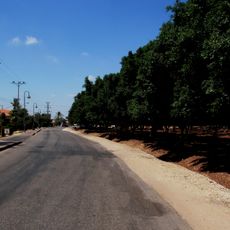
The trail is marked and walkable, taking about 3 to 4 hours to complete and covering roughly 5 kilometers. Visitors should wear comfortable shoes, bring plenty of water, and prepare for sun or rain depending on the season.
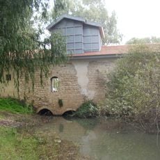
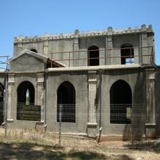
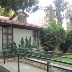
Along the way stands the Ahronowitz House, a 1927 building with Eastern style and an original swimming pool that shows the wealth of early fruit farmers. This house stood out sharply from other homes of the period and reveals how differently the early residents lived.
The community of curious travelers
AroundUs brings together thousands of curated places, local tips, and hidden gems, enriched daily by 60,000 contributors worldwide.