
גשר נחל גרר, גשר בעל שלוש קשתות מאבן, שהוקם על ידי הבריטים בתקופת מאורעות 1936 כדי לשפר את הדרך מעזה לבאר שבע
Location: Merhavim Regional Council
Address: ליד מושב תדהר
GPS coordinates: 31.37992,34.61583
Latest update: March 17, 2025 22:32
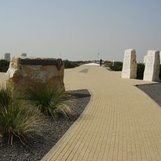
The Black Arrow monument
15.4 km
Giv'ot Bar
13.6 km
Tidhar
1.3 km
Mabu'im
8.5 km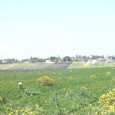
Nir Moshe
11 km
Ma'agalim
2.5 km
Eshkol National Park
14.4 km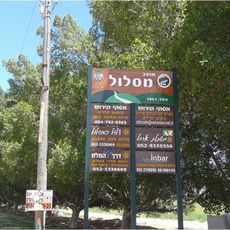
Maslul
6.7 km
Nir Akiva
10.4 km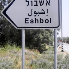
Eshbol
8.9 km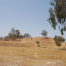
Tel Haror
919 m
Bitha
5.3 km
Sulfur Quarry of Be'eri
15.7 km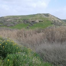
Tel esh-Sharia
6.2 km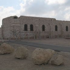
Patish Fortress
8.2 km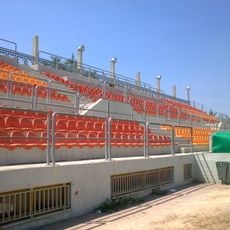
Netivot Municipal Stadium
4.8 km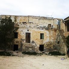
בית השיח' סלמאן אלהוזייל
13.3 km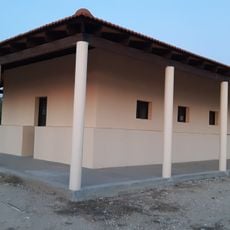
Armistice houses
15.3 km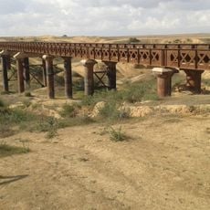
Railway bridge over the Ofakim Stream
11.4 km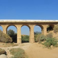
Nahal Patish Railway Bridge
12.8 km
בארות בנגב
14.2 km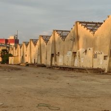
Of-Ar Factory
7.1 km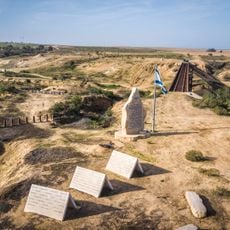
Sayeret Shaked Park
12 km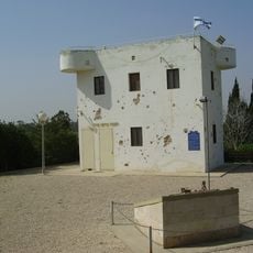
A Fortress facing Gaza
13.5 km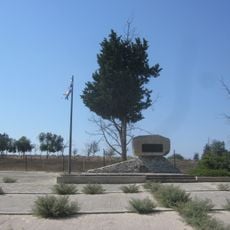
Beeri IDF Temporary Military Cemetery Monument
12.7 km
Monument to the Fallen of Shoval
12.9 km
Be'er Shama
15.2 km
Be'eri Water Tower
12.8 kmReviews
Visited this place? Tap the stars to rate it and share your experience / photos with the community! Try now! You can cancel it anytime.
Discover hidden gems everywhere you go!
From secret cafés to breathtaking viewpoints, skip the crowded tourist spots and find places that match your style. Our app makes it easy with voice search, smart filtering, route optimization, and insider tips from travelers worldwide. Download now for the complete mobile experience.

A unique approach to discovering new places❞
— Le Figaro
All the places worth exploring❞
— France Info
A tailor-made excursion in just a few clicks❞
— 20 Minutes