Manipur, State in northeastern India
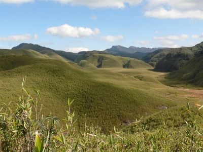
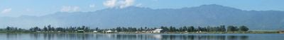
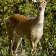
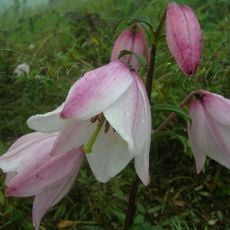
Manipur is an administrative territory in northeastern India, covering both a river valley and surrounding mountain ranges, and bordering Myanmar. The landscape shifts from rice paddies in the valley to forested slopes and highland plateaus, connected by steep roads.
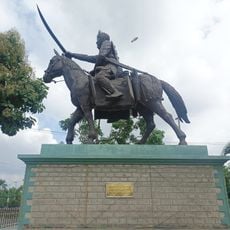
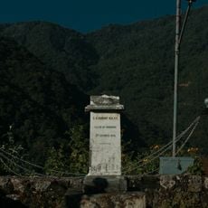
The territory was an independent kingdom for centuries before coming under British control in 1891 and becoming part of British India. After Indian independence it was administered as a union territory before gaining full statehood in 1972.
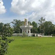
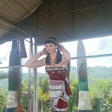
The Manipuri form of dance, which tells religious stories, is performed in temples and at public festivals, often accompanied by the pena, a two-stringed violin. In markets around the capital Imphal, women sell woven textiles and local foods, a form of trade that has been customary here for generations.
Access to the hill areas is by narrow roads that are often affected by rain and landslides during the monsoon season. Travelers usually reach the valley through the airport near Imphal or by overland roads from neighboring states.
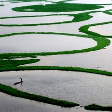
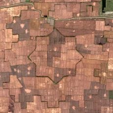
Loktak Lake holds floating islands of matted vegetation called phumdis, on which local fishermen build small huts and even grow vegetables. These floating masses rise and fall with the water level and can move across the lake surface over the course of seasons.
The community of curious travelers
AroundUs brings together thousands of curated places, local tips, and hidden gems, enriched daily by 60,000 contributors worldwide.