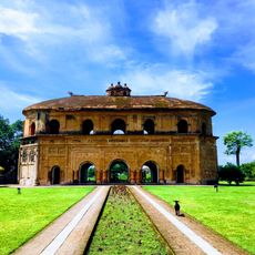
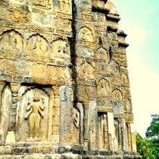
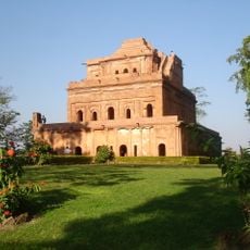
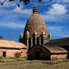
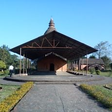
Changlang district, Administrative district in Arunachal Pradesh, India
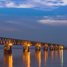
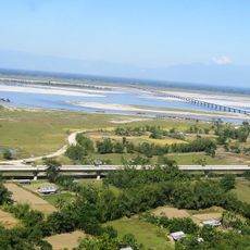
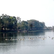
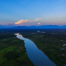
Changlang district extends across varied terrain with dense forests and rolling hills near the Myanmar border. The administrative center is located in Changlang town, from where five legislative assembly constituencies coordinate local governance.
The district was established as an independent administrative region in 1987 when it was separated from Tirap district. This division resulted from administrative reforms aimed at better managing the region's growing population.
The Tangsa people form the largest community here and continue to practice their own customs and ways of living. Alongside them, other indigenous groups maintain their distinct traditions and participate actively in the social fabric of the region.
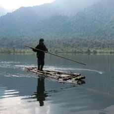
The district is best explored by road, with routes connecting various landscapes and settlements throughout the area. The best time to visit is during drier months, as rainfall can make roads and paths difficult to navigate.
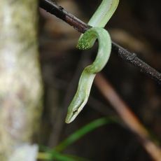
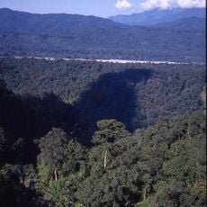
Namdapha National Park lies within the district and protects tropical rainforests that are home to tigers, clouded leopards, and red pandas. This park is one of the few places in Asia where such large predators and smaller wildlife coexist in their natural habitat.
The community of curious travelers
AroundUs brings together thousands of curated places, local tips, and hidden gems, enriched daily by 60,000 contributors worldwide.