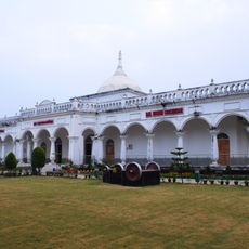
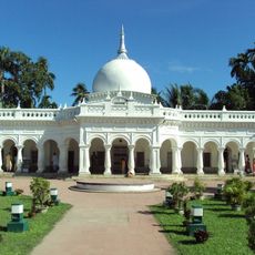
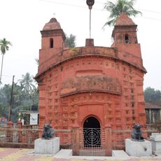
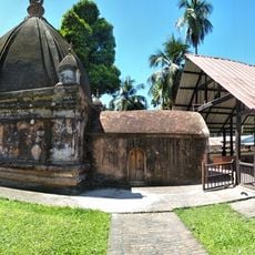
Bongaigaon district, Administrative district in Lower Assam, India
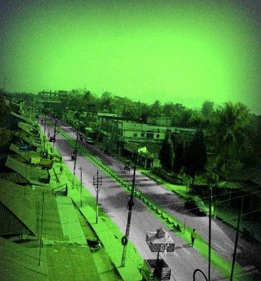
Bongaigaon is an administrative district in Lower Assam that stretches along the Brahmaputra River, combining urban centers, farmland, and industrial zones. The region blends agricultural activity with growing economic development across its landscape.
The district was created in 1989 from portions of Goalpara and Kokrajhar districts as part of administrative reorganization. Before its formation, the territory experienced different periods of local control and external influence over several centuries.
The population of 738,804 residents speaks primarily Assamese and Bengali, with Muslims comprising 50.22% and Hindus 48.61% of the demographic composition.
The district connects to major transportation routes, making travel between different areas relatively straightforward. Visitors should expect better facilities and services in the main urban centers compared to outlying rural parts of the region.
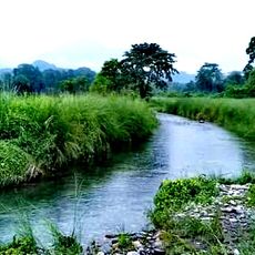
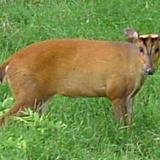
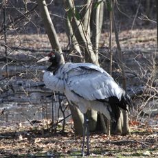
The name comes from 'bon' meaning wild and 'gai' meaning cow, referring to the wild cattle that once roamed the area. This naming reveals how the landscape and its wildlife shaped the identity of this region long ago.
Location: Lower Assam division
Inception: 1989
Capital city: Bongaigaon, Assam, India
Shares border with: Chirang district, Goalpara district
Website: http://bongaigaon.gov.in
GPS coordinates: 26.46670,90.56670
Latest update: December 7, 2025 19:28
Manas National Park
45.9 km
Raimona National Park
62.6 km
Buxa Tiger Reserve
100.3 km
Balpakram National Park
109.2 kmDhubri-Phulbari bridge
77.6 km
Naranarayan Setu
28.7 km
Sri Surya Pahar
42.3 km
Hayagriva Madhava Temple
98.9 km
Buxa Fort
103.3 km
Royal Manas National Park
51.8 kmGaro Hills Autonomous District Council
68.1 km
Panbari Mosque
61.7 km
Jigme Singye Wangchuck National Park
79 km
Baneshwar Shiva temple
106.8 km
Phibsoo Wildlife Sanctuary
63.7 km
Matiabag Palace
98.4 km
Bagheswari Temple, Bongaigaon
99.4 km
Phrumsengla National Park
99.6 kmBhangagarh
70.6 km
Ambari Archeological Site
96.5 km
Santuário de Fauna de Manas
54.4 km
Sri Kameswar Temple
99.9 km
Siddheswari temple
105.4 km
Rail Museum, Cooch Behar
112 km
Madan Mohan temple
113 km
Siddhanath Shiva temple
111.5 km
Sri Ganesh Temple, Hajo
99.8 km
Sri Kedar Temple
100.6 kmVisited this place? Tap the stars to rate it and share your experience / photos with the community! Try now! You can cancel it anytime.
Discover hidden gems everywhere you go!
From secret cafés to breathtaking viewpoints, skip the crowded tourist spots and find places that match your style. Our app makes it easy with voice search, smart filtering, route optimization, and insider tips from travelers worldwide. Download now for the complete mobile experience.
A unique approach to discovering new places❞
— Le Figaro
All the places worth exploring❞
— France Info
A tailor-made excursion in just a few clicks❞
— 20 Minutes