Enable Location

We need your location to show you interesting places around you

Discover nearby places

Find interesting locations and hidden gems around you

Precise directions

Get accurate directions and distances to places

Your location is never shared with other users. It's only used when you tap the location button.

Log in to your account

Start exploring — it's free

Trusted by 63,068 travelers worldwide

Continue with Google
Continue with Apple
or

We will send you a code to connect

By continuing, you accept our Terms and Conditions and our Privacy Policy

Check your inbox

We've sent a pincode in your inbox. Please enter the code below.

Mirzapur district
Discussion Reviews Photo
34.4k Popularity

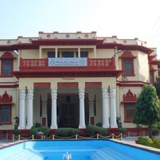
Mirzapur district, Administrative district in eastern Uttar Pradesh, India

Mirzapur district lies along the Ganges River in eastern Uttar Pradesh and borders several neighboring administrative areas. It divides into four Tehsils that handle local governance and planning.

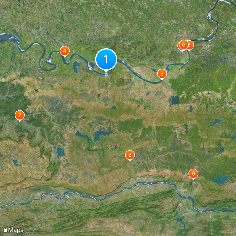
This administrative area was established in the early 1500s and remained the largest in the state for several centuries. A separate district was carved from its territory near the end of the 1900s.

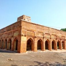
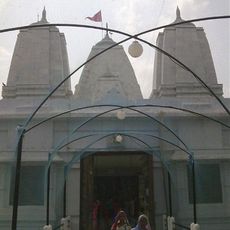
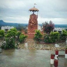
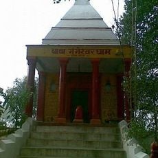
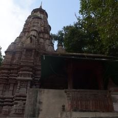
The Vindhyavasini temple complex draws pilgrims who gather for prayers and rituals, especially during Navratri when local devotional practices shape the rhythm of community life.

The four administrative divisions have centers in different parts of the region, so plan which area you want to explore. Local roads connect villages and towns throughout the district, making it possible to move between communities.

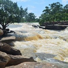
Stone ghats along the Ganges showcase carved details created by stoneworkers over generations. During festivals, visitors see these riverbanks lit by thousands of small oil lamps glowing at night.

The community of curious travelers

AroundUs brings together thousands of curated places, local tips, and hidden gems, enriched daily by 60,000 contributors worldwide.

Start exploring
Capital city
Mirzapur
Shares border with
Prayagraj district, Bhadohi district, Jaunpur district
GPS coordinates
25.15068,82.56481
Latest update
December 19, 2025 22:45
Reviews
Share your experience

No review yet

Discussions
Start a discussion...

No discussion yet

« Mirzapur district - Administrative district in eastern Uttar Pradesh, India » is provided by Around Us (aroundus.com). Images and texts are derived from Wikimedia project under a Creative Commons license. You are allowed to copy, distribute, and modify copies of this page, under the conditions set by the license, as long as this note is clearly visible.

Discover hidden gems everywhere you go!

From secret cafés to breathtaking viewpoints, skip the crowded tourist spots and find places that match your style. Our app makes it easy with voice search, smart filtering, route optimization, and insider tips from travelers worldwide. Download now for the complete mobile experience.

Around Us App Screenshot

A unique approach to discovering new places

Le Figaro

All the places worth exploring

France Info

A tailor-made excursion in just a few clicks

20 Minutes

Around Us
Travel Guide & Maps
Download

Send to your phone

QR Code
1

Open the camera app on your mobile.

2

Point at the QR code with your camera. A notification will appear.

3

Tap the notification to open the link.