Hanamkonda district

Log in to your account

AroundUs is a community-driven map of interesting places, built by curious explorers like you. It grows with every review, story, and photo you share.
Connect to save your favorite spots, contribute locations, and create personalized routes.
Continue with Google
Continue with Apple
Continue with X
Continue with Facebook
Continue with email
By continuing, you accept our Terms and Conditions and our Privacy Policy
Create an account
Add to collection
Map
Suggest a change
Share

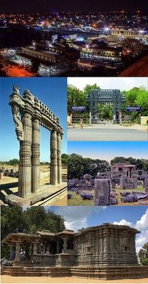
Hanamkonda district, Administrative district in Telangana, India

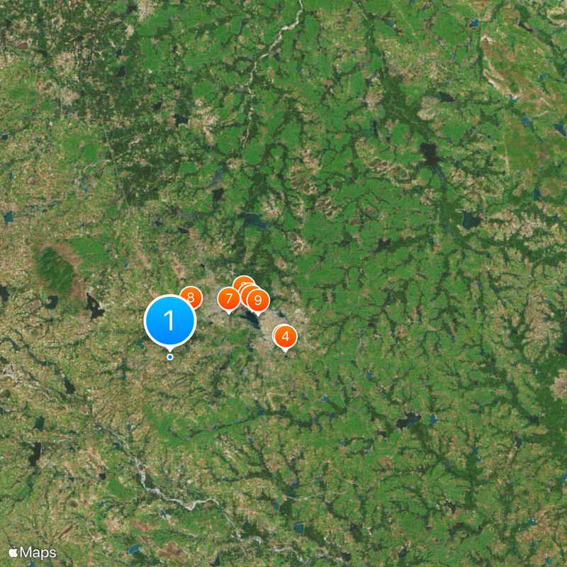
Hanamkonda district is an administrative area in Telangana bordered by Jangaon, Karimnagar, Warangal, Bhupalpally, and Siddipet districts. The region is divided into two revenue sections and organized into fourteen smaller administrative units that handle local services.

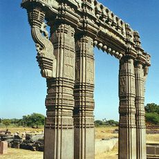
The district formed in 1866 from a restructuring of Warangal Circar during the Nizam period, combining several administrative territories. This reorganization set the modern boundaries and established the basic governance structure that still exists today.

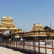
The district's communities speak Telugu and Urdu in daily life, and temples stand alongside mosques throughout the region. This religious mix shapes how people celebrate together and influences the local festivals and customs you see throughout the year.

The area is organized into two administrative zones containing fourteen local government units, which makes navigating and accessing local services straightforward. Visitors should note that public facilities and services may vary in availability depending on which sector of the district they are visiting.

The district is home to Kakatiya University and the National Institute of Technology, two institutions that draw students from across the region. These educational centers shape the character of the area and contribute to its development.

Location: Telangana

Inception: October 11, 2016

Founders: Kakatiya dynasty

Capital city: Warangal

Website: http://warangal.nic.in

GPS coordinates: 17.95000,79.50000

Latest update: December 20, 2025 13:05

Photos
Reviews

Visited this place? Tap the stars to rate it and share your experience / photos with the community! Try now! You can cancel it anytime.

« Hanamkonda district - Administrative district in Telangana, India » is provided by Around Us (aroundus.com). Images and texts are derived from Wikimedia project under a Creative Commons license. You are allowed to copy, distribute, and modify copies of this page, under the conditions set by the license, as long as this note is clearly visible.

Discover hidden gems everywhere you go!

From secret cafés to breathtaking viewpoints, skip the crowded tourist spots and find places that match your style. Our app makes it easy with voice search, smart filtering, route optimization, and insider tips from travelers worldwide. Download now for the complete mobile experience.

Around Us App Screenshot

A unique approach to discovering new places

Le Figaro

All the places worth exploring

France Info

A tailor-made excursion in just a few clicks

20 Minutes