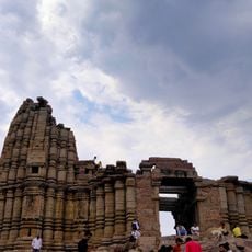
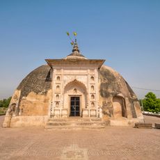
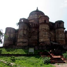
Hamirpur district, Administrative district in Uttar Pradesh, India.
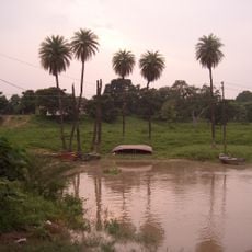
Hamirpur district is an administrative region in Uttar Pradesh situated between the Yamuna and Betwa rivers, combining farmland with towns and villages. It is divided into four administrative subdivisions with Hamirpur town serving as the main administrative center.
The region originated from the North-Western Provinces and underwent several administrative reorganizations before becoming part of Uttar Pradesh after independence in 1947. These changes shaped the district's current boundaries and administrative structure.
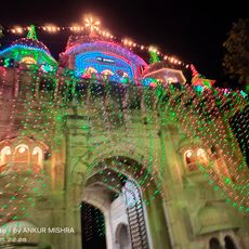
People here speak Hindi and Bundeli, languages that carry the region's traditions through seasonal festivals and community gatherings. These celebrations shape how neighbors connect and share their daily lives together.
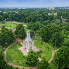
The district spans farmland and settled areas best explored using local transportation options available in towns and villages. Visiting the main centers in each subdivision helps you understand the region's layout and local life.
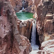
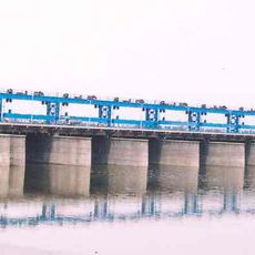
Where the Yamuna and Betwa rivers meet, sand deposits form naturally and have long been harvested for use in construction and building across the region. This natural feature remains economically important to local communities.
Location: Chitrakoot division
Capital city: Hamirpur
Shares border with: Jalaun district, Banda district
Website: http://Hamirpur.nic.in
GPS coordinates: 25.75000,80.00000
Latest update: December 7, 2025 19:32
Chandrashekhar Azad Park
90.1 km
JK Temple
86.1 km
Kanpur Zoological Park
89.1 km
Raneh Falls
96.5 km
Ganges Barrage
90.1 km
Kanpur Memorial Church
86.3 km
Massacre Ghat
87.6 km
Nana Rao Park
88 km
Maharaja Chhatrasal Museum
97.8 km
Kanpur Sangrahalaya
87.6 km
Bijawar-Panna Plateau
9.3 km
Senapati fortress
53.6 km
Dhaneswar Khera Buddha image inscription
77.6 km
Portuguese Cemetery, Kanpur
88.7 km
Sun temple, Banjari Tikari
85.4 km
Chaurasi Tomb of Lodhi Shah Badshah
48.9 km
Makarbai Temple
43.9 km
Nawābganj
88.7 km
Adivart Tribal & Folk Art Museum
99.7 km
Bhitargaon Temple
58.1 km
Rahiliya temple
56.3 km
Group of Hindu temples, Vyas Bhadora
78.5 km
Khakra Math Temple
53.5 km
Behta Bujurg temple
55.2 km
Hanuman Mandir Khajwa Chauda Kheda Dham
92.4 km
British Memorial Cemetery
49.5 km
Chatrasal ka Makbara
98.6 km
Dyudhi Darwaza
46.1 kmVisited this place? Tap the stars to rate it and share your experience / photos with the community! Try now! You can cancel it anytime.
Discover hidden gems everywhere you go!
From secret cafés to breathtaking viewpoints, skip the crowded tourist spots and find places that match your style. Our app makes it easy with voice search, smart filtering, route optimization, and insider tips from travelers worldwide. Download now for the complete mobile experience.
A unique approach to discovering new places❞
— Le Figaro
All the places worth exploring❞
— France Info
A tailor-made excursion in just a few clicks❞
— 20 Minutes