Chest opened
+${chestReward.xp} XP
Explorer
NOUVEAU ×${chestReward.collectible.quantity}
tapez pour fermer

See the monuments around you in AR Open chests in the app

Around Us is built for your phone — point your camera at the streets and discover the monuments and places around you in augmented reality. Around Us is built for your phone — chests unlock when you walk, explore and capture nearby places.

•

Enable Location

We need your location to show you interesting places around you

Discover nearby places

Find interesting locations and hidden gems around you

Precise directions

Get accurate directions and distances to places

Your location is never shared with other users. It's only used when you tap the location button.

Koyna Dam

Log in to your account

Start exploring — it's free

Trusted by 92,663 travelers worldwide

Continue with Google
Continue with Apple
or

We will send you a code to connect

By continuing, you accept our Terms and Conditions and our Privacy Policy

Check your inbox

We've sent a pincode in your inbox. Please enter the code below.

Koyna Dam, Hydroelectric dam in Maharashtra, India

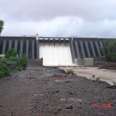
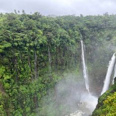
The Koyna Dam crosses the river valley with a concrete structure that holds back the waters of Shivsagar Lake in the Western Ghats of Maharashtra. The facility includes turbine halls at the base and a row of spillway gates along the crest to manage seasonal rainfall.

Built after Indian independence as part of the Koyna Hydroelectric Project, the dam was strengthened in two stages: the non-overflow section in 1973 and the spillway section in 2006. The 1967 Koynanagar earthquake cracked the structure; cracks were grouted and internal holes drilled to relieve hydrostatic pressure in the dam body.

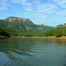
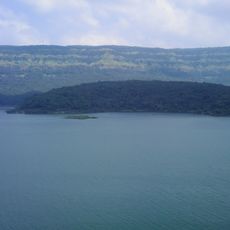
The reservoir behind the dam is called Shivsagar Lake, and the Marathi sources note that the Koyna, Solshi and Kandota rivers meet at Tapola village at its far end, where boating and other tourist facilities operate. The Koyna Wildlife Sanctuary runs along the reservoir's shore.

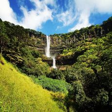
Visitors can view the reservoir and surrounding hill ranges from public vantage points, with the monsoon period between June and September bringing peak water levels. Access roads wind through hilly terrain, so plan extra travel time for arrival and departure.

Researchers drilled boreholes near the structure to monitor earthquake activity that began after the reservoir filled. These measurements help understand how large water bodies can influence geological stress in the earth's crust.

The community of curious travelers

AroundUs brings together thousands of curated places, local tips, and hidden gems, enriched daily by 92,663 contributors worldwide.

Start exploring
Location
Length
808 m
GPS coordinates
17.40218,73.75131
Latest update
October 25, 2026 05:39
Reviews
Share your experience

No review yet

Discussions
Start a discussion...

No discussion yet

« Koyna Dam - Hydroelectric dam in Maharashtra, India » is provided by Around Us (aroundus.com). Images and texts are derived from Wikimedia project under a Creative Commons license. You are allowed to copy, distribute, and modify copies of this page, under the conditions set by the license, as long as this note is clearly visible.

Discover hidden gems everywhere you go!

From secret cafés to breathtaking viewpoints, skip the crowded tourist spots and find places that match your style. Our app makes it easy with voice search, smart filtering, route optimization, and insider tips from travelers worldwide. Download now for the complete mobile experience.

Around Us App Screenshot
❝

A unique approach to discovering new places❞

— Le Figaro

❝

All the places worth exploring❞

— France Info

❝

A tailor-made excursion in just a few clicks❞

— 20 Minutes

Around Us
Travel Guide & Maps
Download

Send to your phone

QR Code
1

Open the camera app on your mobile.

2

Point at the QR code with your camera. A notification will appear.

3

Tap the notification to open the link.