Enable Location

We need your location to show you interesting places around you

Discover nearby places

Find interesting locations and hidden gems around you

Precise directions

Get accurate directions and distances to places

Your location is never shared with other users. It's only used when you tap the location button.

Ratnagiri district

Log in to your account

Start exploring — it's free

Trusted by 62,844 travelers worldwide

Continue with Google
Continue with Apple
or

We will send you a code to connect

By continuing, you accept our Terms and Conditions and our Privacy Policy

Check your inbox

We've sent a pincode in your inbox. Please enter the code below.

Ratnagiri district

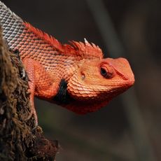
Ratnagiri district, Administrative district in Konkan division, India

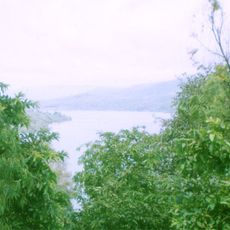
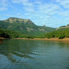
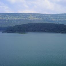
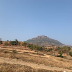
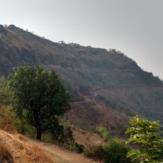
Ratnagiri is an administrative district in Konkan that stretches along the western coast of Maharashtra facing the Arabian Sea. The region divides into nine administrative talukas and features hilly terrain with fertile valleys and coastal plains.

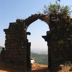
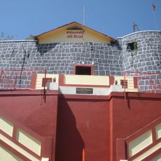
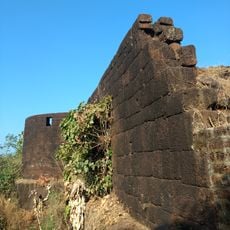
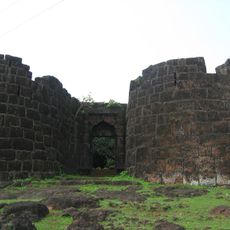
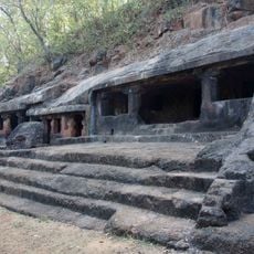
The district was established in 1832 after centuries of shifting rule from Buddhist kingdoms through Islamic dynasties and into European control. This layered past shaped the governance systems and cultural layers that remain visible today.

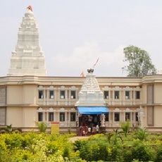
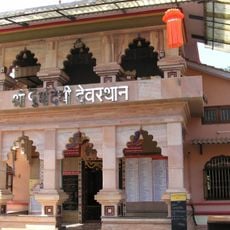
The district is closely tied to India's independence struggle through figures who shaped the nation's path. Local communities continue to celebrate traditional festivals and observe customs that mark the seasons and spiritual life.

National Highway 66 runs through the district and provides the main route for vehicle travel and intercity buses. The Konkan Railway also connects the region to larger cities and offers an alternative to road transportation.

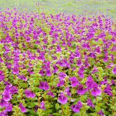
The district is known worldwide for producing Alphonso mangoes, a specific variety prized for its distinctive sweetness and fragrance. These mangoes grow across extensive orchards that have shaped the landscape for generations.

The community of curious travelers

AroundUs brings together thousands of curated places, local tips, and hidden gems, enriched daily by 60,000 contributors worldwide.

Start exploring
Location
Inception
December 31, 1832
Capital city
Ratnagiri
Shares border with
Sindhudurg district, Kolhapur district, Sangli district
GPS coordinates
17.00000,73.50000
Latest update
December 14, 2025 19:20
« Ratnagiri district - Administrative district in Konkan division, India » is provided by Around Us (aroundus.com). Images and texts are derived from Wikimedia project under a Creative Commons license. You are allowed to copy, distribute, and modify copies of this page, under the conditions set by the license, as long as this note is clearly visible.

Discover hidden gems everywhere you go!

From secret cafés to breathtaking viewpoints, skip the crowded tourist spots and find places that match your style. Our app makes it easy with voice search, smart filtering, route optimization, and insider tips from travelers worldwide. Download now for the complete mobile experience.

Around Us App Screenshot

A unique approach to discovering new places

Le Figaro

All the places worth exploring

France Info

A tailor-made excursion in just a few clicks

20 Minutes

Around Us
Travel Guide & Maps
Download

Send to your phone

QR Code
1

Open the camera app on your mobile.

2

Point at the QR code with your camera. A notification will appear.

3

Tap the notification to open the link.