Enable Location

We need your location to show you interesting places around you

Discover nearby places

Find interesting locations and hidden gems around you

Precise directions

Get accurate directions and distances to places

Your location is never shared with other users. It's only used when you tap the location button.

Log in to your account

Start exploring — it's free

Trusted by 62,851 travelers worldwide

Continue with Google
Continue with Apple
or

We will send you a code to connect

By continuing, you accept our Terms and Conditions and our Privacy Policy

Check your inbox

We've sent a pincode in your inbox. Please enter the code below.

Chandragad

Chandragad, Hill fort in Raigad district, India

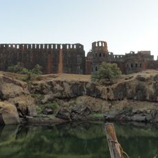
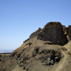
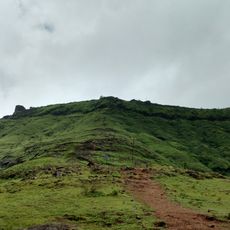
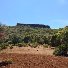
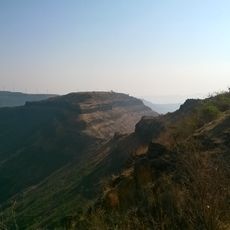
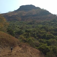
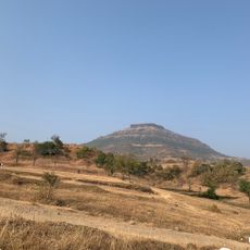
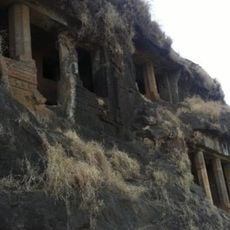
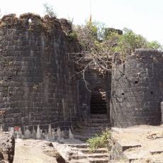
Chandragad is a hill fortress in Raigad district situated at an elevation of around 750 meters and part of a ridge surrounded by dense forest. The structure includes religious spaces like temples and royal chambers along with an intricate water system made up of several rock-carved reservoirs.

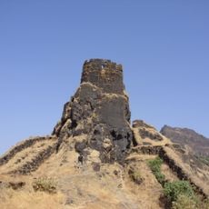
The fortress was originally built by Chandrarao More of Javli to oversee the region, but became part of the Maratha Empire in 1656 under Shivaji Maharaj. This incorporation marked a significant moment in the empire's expansion into this mountainous region.

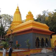
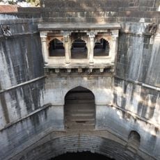
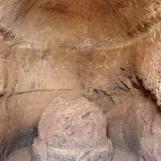
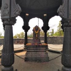
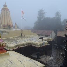
The temple dedicated to the goddess and the sacred shrine dedicated to Dhavaleshwar are meaningful spaces within the fortress that show how this place once served as a spiritual and royal center. The fourteen rock-carved water cisterns are silent witnesses to the daily practices and rhythms of life that once existed here.

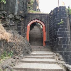
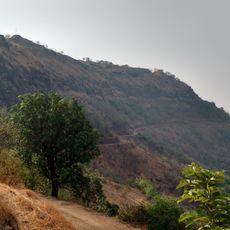
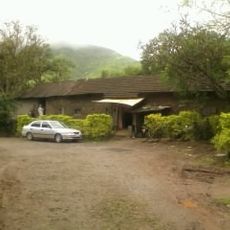
The best access to the fortress runs through Dhawale village, located around 185 kilometers from Mumbai and reachable via road from Poladpur. The climb demands sturdy footwear and reasonable fitness, so starting early in the day and carrying plenty of water are wise choices.

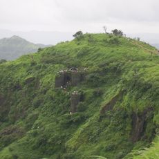
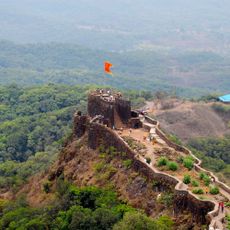
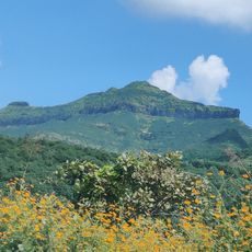
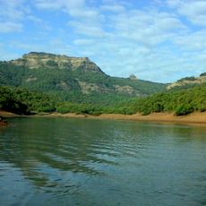
The fortress sits at a location with commanding views over the old Dhawale Ghat route and the Krishna valley, revealing why this position was once so strategically valuable. This vantage point lets visitors today see sweeping views of the surrounding landscape and the historic trade route that once ran beneath it.

The community of curious travelers

AroundUs brings together thousands of curated places, local tips, and hidden gems, enriched daily by 60,000 contributors worldwide.

Start exploring
Location
GPS coordinates
18.00156,73.61917
Latest update
December 9, 2025 12:24
« Chandragad - Hill fort in Raigad district, India » is provided by Around Us (aroundus.com). Images and texts are derived from Wikimedia project under a Creative Commons license. You are allowed to copy, distribute, and modify copies of this page, under the conditions set by the license, as long as this note is clearly visible.

Discover hidden gems everywhere you go!

From secret cafés to breathtaking viewpoints, skip the crowded tourist spots and find places that match your style. Our app makes it easy with voice search, smart filtering, route optimization, and insider tips from travelers worldwide. Download now for the complete mobile experience.

Around Us App Screenshot

A unique approach to discovering new places

Le Figaro

All the places worth exploring

France Info

A tailor-made excursion in just a few clicks

20 Minutes

Around Us
Travel Guide & Maps
Download

Send to your phone

QR Code
1

Open the camera app on your mobile.

2

Point at the QR code with your camera. A notification will appear.

3

Tap the notification to open the link.