Enable Location

We need your location to show you interesting places around you

Discover nearby places

Find interesting locations and hidden gems around you

Precise directions

Get accurate directions and distances to places

Your location is never shared with other users. It's only used when you tap the location button.

Raigad district

Log in to your account

Start exploring — it's free

Trusted by 62,483 travelers worldwide

Continue with Google
Continue with Apple
or

We will send you a code to connect

By continuing, you accept our Terms and Conditions and our Privacy Policy

Check your inbox

We've sent a pincode in your inbox. Please enter the code below.

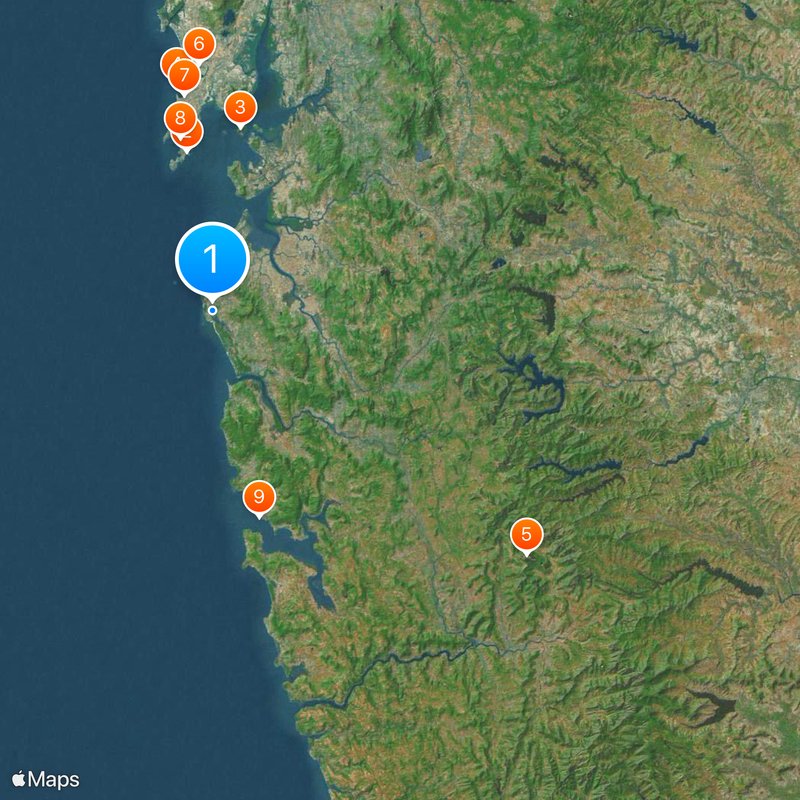
Raigad district, Administrative district in Konkan division, India

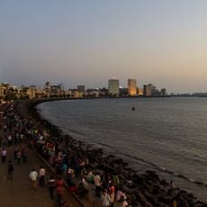
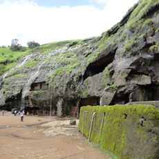
Raigad district sits within the Konkan division of Maharashtra and extends from the Arabian Sea eastward toward the Western Ghats range. The landscape combines coastal plains with forested hills and agricultural valleys.

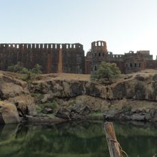
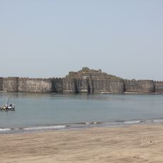
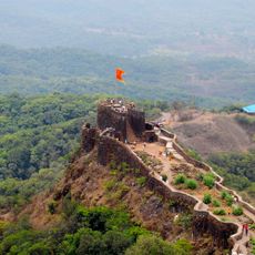
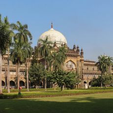
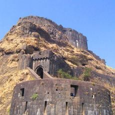
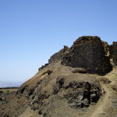
The district carried the name Colaba until 1981 when it was renamed after Raigad Fort, which served as the seat of the Maratha state during the 17th century. The region played a central role in the political organization of western India during that period.

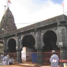
The district population speaks predominantly Marathi, with local markets offering traditional handicrafts, fresh produce, and seafood specialties from the coastal region.

The administrative center at Alibag sits south of Navi Mumbai and connects to regional destinations via highway and railway routes. Many visitors pass through while heading to coastal towns or heritage sites.

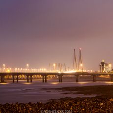
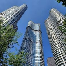
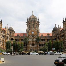
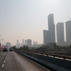
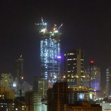
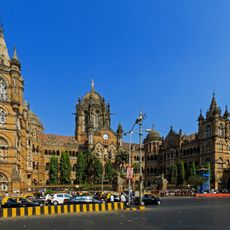
Parts of the northern section now form part of Navi Mumbai, one of the largest planned cities in India. The southern portions preserve rural villages and fishing communities along the coastline.

The community of curious travelers

AroundUs brings together thousands of curated places, local tips, and hidden gems, enriched daily by 60,000 contributors worldwide.

Start exploring
Location
Capital city
Alibag
Part of
Konkan
Shares border with
Mumbai City district, Satara district
GPS coordinates
18.65000,72.88000
Latest update
December 14, 2025 23:52
« Raigad district - Administrative district in Konkan division, India » is provided by Around Us (aroundus.com). Images and texts are derived from Wikimedia project under a Creative Commons license. You are allowed to copy, distribute, and modify copies of this page, under the conditions set by the license, as long as this note is clearly visible.

Discover hidden gems everywhere you go!

From secret cafés to breathtaking viewpoints, skip the crowded tourist spots and find places that match your style. Our app makes it easy with voice search, smart filtering, route optimization, and insider tips from travelers worldwide. Download now for the complete mobile experience.

Around Us App Screenshot

A unique approach to discovering new places

Le Figaro

All the places worth exploring

France Info

A tailor-made excursion in just a few clicks

20 Minutes

Around Us
Travel Guide & Maps
Download

Send to your phone

QR Code
1

Open the camera app on your mobile.

2

Point at the QR code with your camera. A notification will appear.

3

Tap the notification to open the link.