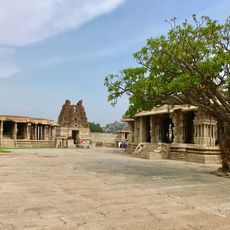
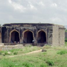
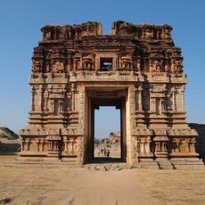
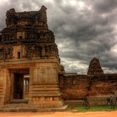
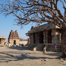
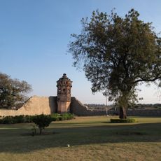
Ballari district, Administrative district in Karnataka, India.
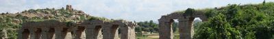
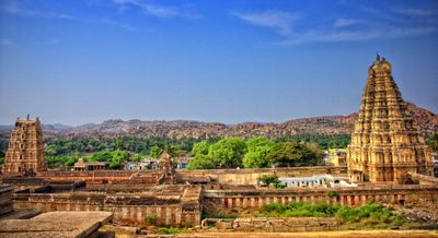
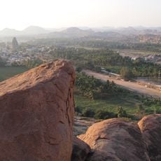
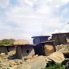
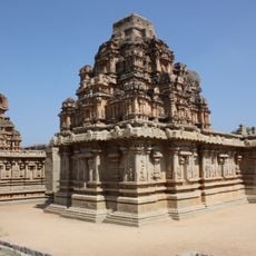
Ballari is an administrative district in Karnataka that spans terrain with granite hills and dark volcanic soil across its landscape. The region holds substantial iron ore reserves and maintains road and air connections for internal and external movement.
The district was part of the Madras Presidency during British rule until 1950, when it became incorporated into independent India. It was subsequently assigned to Kalaburagi division and has since developed as a significant administrative region in Karnataka.
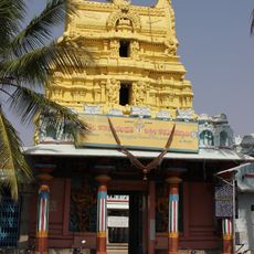
The region is home to Kannada speakers alongside Telugu and Urdu communities, creating a multilingual character visible in daily interactions. Traditional farming practices remain woven into the social fabric, shaping how people live and work across the landscape.
When exploring the district, National Highway 67 and the local airport help with navigation and reaching different areas. Visitors should know that the region has a spread of infrastructure including police stations and emergency services across various locations.
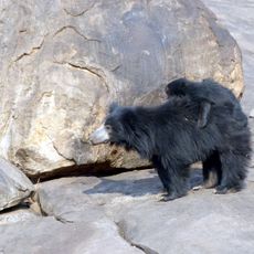
The Daroji Sloth Bear Sanctuary within this region provides shelter for Indian sloth bears among granite rock formations. It is one of the few places where visitors can observe these rare animals in their natural setting.
Location: Kalaburagi division
Capital city: Bellary
Elevation above the sea: 449 m
Shares border with: Haveri district
Website: http://bellary.nic.in
GPS coordinates: 15.15000,76.93330
Latest update: December 7, 2025 10:00
Hampi
54.6 km
Vijayanagara
53.9 km
Lotus Mahal Pavilion
53.1 km
Bellary Fort
2.4 km
Daroji Sloth Bear Sanctuary
45.7 km
Rayadurg Palace and Rama and Krishna temples
50.8 km
Hazara Rama temple
53.3 km
Pattabhirama Temple
51.4 km
Linga Temple near Narsimha Statue Badavilinga Temple
54.7 km
Vitthala Temple, Hampi
53.6 km
Mosque in Dannaik's enclosure
53.4 km
Krishna Temple
54.6 km
Achyutaraya temple
53.7 km
Vijaya Vithala temple
53.6 km
Chanderasekara Temple
52.6 km
I)Water Pavilion in Zenana Enclosureii) Guards House in Zenana Enclosure iii) Walls and Gateways of the Zenana Enclosure iv) Ranga Temple
53 km
North Watch Tower in the Zenana Enclosure
53.2 km
Large Underground Temple
53.8 km
Gnanagitte Jaina Temple
52.2 km
Vishnu Temple No.III facing South Gateway of Vittala Temple
53.6 km
Octagonal Water Pavilion
53.2 km
Old Water Supply Scheme
52.6 km
Queen's Bath
52.7 km
Large Public Bath or Tank
53 km
Mandapa in a Field close to Talarigattu Road
52.6 km
Bhima's Gateway
51.9 km
Monolithic Bull
54.1 km
Muhammadan Watch tower in Dannaik's Enclosure
53.6 kmReviews
Visited this place? Tap the stars to rate it and share your experience / photos with the community! Try now! You can cancel it anytime.
Discover hidden gems everywhere you go!
From secret cafés to breathtaking viewpoints, skip the crowded tourist spots and find places that match your style. Our app makes it easy with voice search, smart filtering, route optimization, and insider tips from travelers worldwide. Download now for the complete mobile experience.
A unique approach to discovering new places❞
— Le Figaro
All the places worth exploring❞
— France Info
A tailor-made excursion in just a few clicks❞
— 20 Minutes