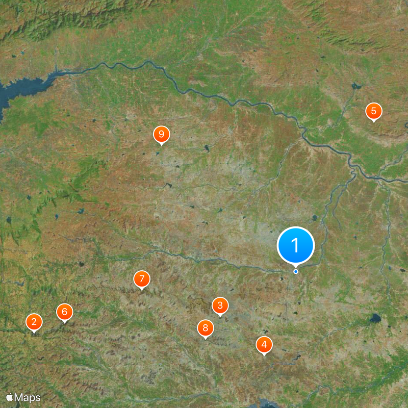
Dhule district, Administrative district in Maharashtra, India.
Dhule is an administrative district in Maharashtra comprising four tehsils: Dhule, Shirpur, Sindkheda, and Sakri, with Dhule city as the administrative center. The region relies on cotton farming as its primary economic activity and depends heavily on monsoon rains due to limited irrigation systems.
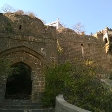
The area grew from a small village to a significant administrative center during British colonial rule, becoming the headquarters of Khandesh District in 1819. This transformation established its role as a major administrative hub that continues today.
The population uses the Ahirani dialect in villages and standard Marathi in towns, showing the linguistic variety found across this region. You notice these language differences as you move between rural and urban areas.
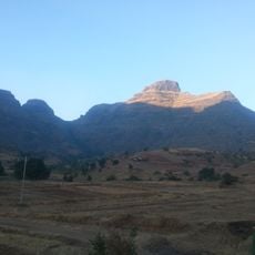
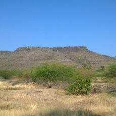
The best time to visit is after the monsoon season when the landscape is green and travel conditions improve. Since the area is agricultural in nature, most accommodations and facilities are concentrated in Dhule city.
The district hosts one of Asia's largest wind energy projects, providing renewable power on a significant scale. It also participates in the Delhi-Mumbai Industrial Corridor, positioning itself as an emerging manufacturing hub.
The community of curious travelers
AroundUs brings together thousands of curated places, local tips, and hidden gems, enriched daily by 60,000 contributors worldwide.