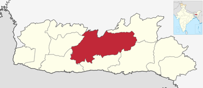
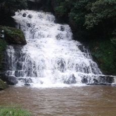
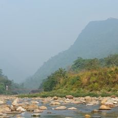
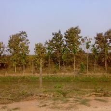
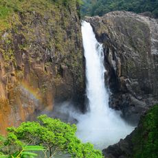
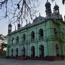
West Khasi Hills district, district of Meghalaya, India
Location: Meghalaya
Inception: October 22, 1976
Capital city: Nongstoin
Shares border with: Ri-Bhoi district, East Khasi Hills district, South West Khasi Hills district, South Garo Hills district, East Garo Hills district, North Garo Hills district
Website: http://westkhasihills.gov.in
GPS coordinates: 25.51670,91.26670
Latest update: March 8, 2025 19:30
Nohkalikai Falls
50 km
Umiam Lake
63.8 km
Sarusajai Stadium
83 km
Balpakram National Park
51.9 km
Elephant Falls
55.9 km
Nohsngithiang Falls
56.6 km
New Saraighat bridge
83.8 km
Ward's Lake
62.6 km
Garo Hills Autonomous District Council
59.2 km
Cathedral of Mary Help of Christians, Shillong
63 km
Bichnakandi
73.6 km
Saraighat Bridge
83.8 km
Garbhanga Wildlife Sanctuary
80.4 km
Kynrem Falls
55.5 km
Umshiang Double-Decker Root Bridge
50.3 km
Garchuk Lachit Garh
79.2 km
Langshiang Falls
8.8 km
Pagla Jame Masjid
68.1 km
Ambari Archeological Site
69.5 km
Memorial of David Scott
54.3 km
Sunamganj Stadium
51.6 km
Sri Kameswar Temple
84.4 km
Mawsmai Cave
55.1 km
Sri Ganesh Temple, Hajo
84.4 km
Deeparbill Bridge
76.8 km
Duargarila Rock inscription
84.4 km
Kamakhya Hill rock cut figures
84.6 km
Takerghat Hillocks
37.3 kmReviews
Visited this place? Tap the stars to rate it and share your experience / photos with the community! Try now! You can cancel it anytime.
Discover hidden gems everywhere you go!
From secret cafés to breathtaking viewpoints, skip the crowded tourist spots and find places that match your style. Our app makes it easy with voice search, smart filtering, route optimization, and insider tips from travelers worldwide. Download now for the complete mobile experience.
A unique approach to discovering new places❞
— Le Figaro
All the places worth exploring❞
— France Info
A tailor-made excursion in just a few clicks❞
— 20 Minutes