Enable Location

We need your location to show you interesting places around you

Discover nearby places

Find interesting locations and hidden gems around you

Precise directions

Get accurate directions and distances to places

Your location is never shared with other users. It's only used when you tap the location button.

Nanjangud

Log in to your account

Start exploring — it's free

Trusted by 63,056 travelers worldwide

Continue with Google
Continue with Apple
or

We will send you a code to connect

By continuing, you accept our Terms and Conditions and our Privacy Policy

Check your inbox

We've sent a pincode in your inbox. Please enter the code below.

Nanjangud
Discussion Reviews 5 Photos
48.4k Popularity

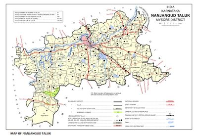
Nanjangud, Temple town on Kapila River banks in Mysuru district, India

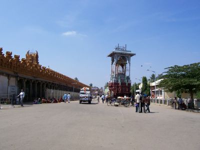
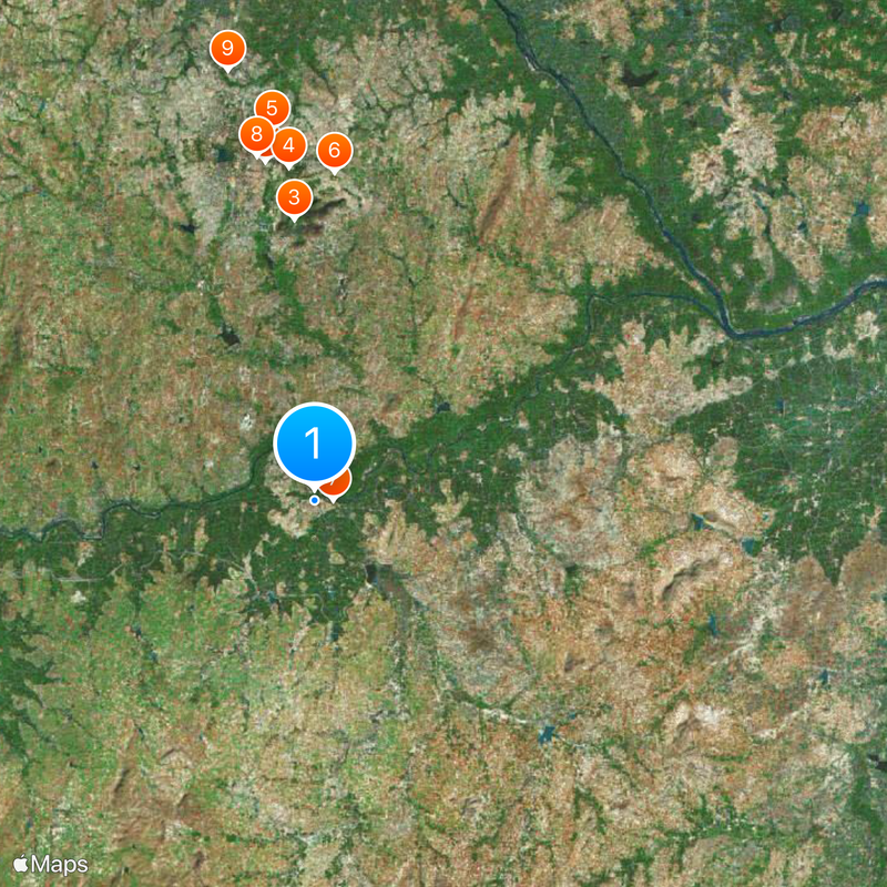
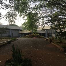
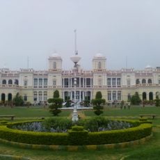
Nanjangud is a town situated along the Kapila River in Mysuru district, located roughly 23 kilometers from Mysore city. The settlement spreads across an elevation of 656 meters, with the Srikanteshwara Temple serving as its focal point.

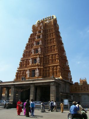
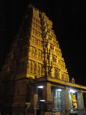
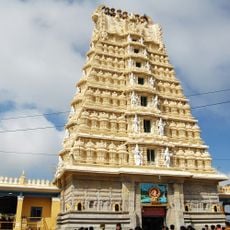
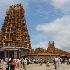
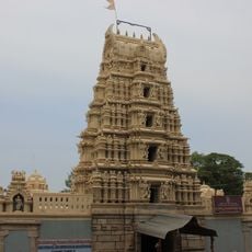
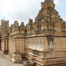
The Srikanteshwara Temple was founded in the 11th century by Chola rulers, establishing the town as a religious center. Subsequent Hoysala and Vijayanagara dynasties expanded and modified the temple over the following centuries.

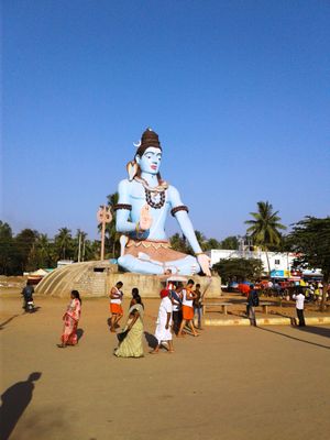
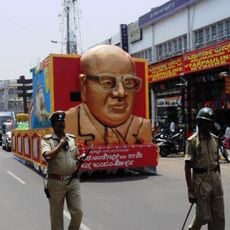
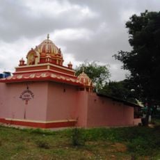
The Srikanteshwara Temple stands as the heart of the town, drawing devotees who gather there for prayer and celebration throughout the year. Religious festivals held at the temple shape the rhythm of daily life for residents.

The town is connected to major cities via National Highway 766 with regular bus services from Bangalore and Mysore available. Mysore Airport nearby provides a convenient air travel option.

The town is known for producing a special banana variety called Nanjanagudu Rasabale, prized for its distinct flavor and creamy texture. This local variety received official recognition status that distinguishes it from other banana types.

The community of curious travelers

AroundUs brings together thousands of curated places, local tips, and hidden gems, enriched daily by 60,000 contributors worldwide.

Start exploring
Location
Nanjangud Taluk
Elevation above the sea
656 m
GPS coordinates
12.11869,76.68175
Latest update
December 14, 2025 19:11
Reviews
Share your experience

No review yet

Discussions
Start a discussion...

No discussion yet

« Nanjangud - Temple town on Kapila River banks in Mysuru district, India » is provided by Around Us (aroundus.com). Images and texts are derived from Wikimedia project under a Creative Commons license. You are allowed to copy, distribute, and modify copies of this page, under the conditions set by the license, as long as this note is clearly visible.

Discover hidden gems everywhere you go!

From secret cafés to breathtaking viewpoints, skip the crowded tourist spots and find places that match your style. Our app makes it easy with voice search, smart filtering, route optimization, and insider tips from travelers worldwide. Download now for the complete mobile experience.

Around Us App Screenshot

A unique approach to discovering new places

Le Figaro

All the places worth exploring

France Info

A tailor-made excursion in just a few clicks

20 Minutes

Around Us
Travel Guide & Maps
Download

Send to your phone

QR Code
1

Open the camera app on your mobile.

2

Point at the QR code with your camera. A notification will appear.

3

Tap the notification to open the link.