Enable Location

We need your location to show you interesting places around you

Discover nearby places

Find interesting locations and hidden gems around you

Precise directions

Get accurate directions and distances to places

Your location is never shared with other users. It's only used when you tap the location button.

Log in to your account

Start exploring — it's free

Trusted by 61,943 travelers worldwide

Continue with Google
Continue with Apple
or

We will send you a code to connect

By continuing, you accept our Terms and Conditions and our Privacy Policy

Check your inbox

We've sent a pincode in your inbox. Please enter the code below.

Pakur district

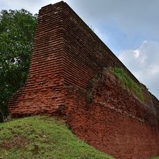
Pakur district, Administrative district in Santhal Pargana division, India.

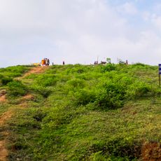
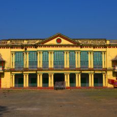
Pakur is an administrative district in the Santhal Pargana division with terrain that ranges from the Rajmahal Hills in the west to flatter lands toward the east. The area is divided into six development blocks, each serving different administrative functions to organize local governance.

The district came into existence in 1994 when the Pakur sub-division was separated from Sahibganj district to become an independent administrative area. This reorganization marked a significant shift in regional governance and territorial organization.

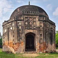
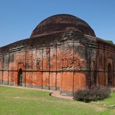
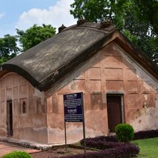
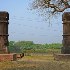
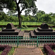
The Santhal community shapes daily life here through their language and customs, which exist alongside Hindu and Muslim traditions throughout the region. This cultural mix is visible in markets, festivals, and village gatherings where different beliefs coexist naturally.

The district is organized into several smaller administrative blocks, making it easier to navigate between different local centers. It helps to be prepared for local road conditions and transportation networks, which vary across different parts of the region.

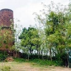
The area is known for its black stone quarries that supply stone chips to construction projects across India and represent a major local industry. These mineral deposits shape the landscape and hold economic importance for many communities here.

The community of curious travelers

AroundUs brings together thousands of curated places, local tips, and hidden gems, enriched daily by 60,000 contributors worldwide.

Start exploring
Capital city
Pakur
Shares border with
Godda district
GPS coordinates
24.63000,87.85000
Latest update
December 7, 2025 20:43
« Pakur district - Administrative district in Santhal Pargana division, India » is provided by Around Us (aroundus.com). Images and texts are derived from Wikimedia project under a Creative Commons license. You are allowed to copy, distribute, and modify copies of this page, under the conditions set by the license, as long as this note is clearly visible.

Discover hidden gems everywhere you go!

From secret cafés to breathtaking viewpoints, skip the crowded tourist spots and find places that match your style. Our app makes it easy with voice search, smart filtering, route optimization, and insider tips from travelers worldwide. Download now for the complete mobile experience.

Around Us App Screenshot

A unique approach to discovering new places

Le Figaro

All the places worth exploring

France Info

A tailor-made excursion in just a few clicks

20 Minutes

Around Us
Travel Guide & Maps
Download

Send to your phone

QR Code
1

Open the camera app on your mobile.

2

Point at the QR code with your camera. A notification will appear.

3

Tap the notification to open the link.