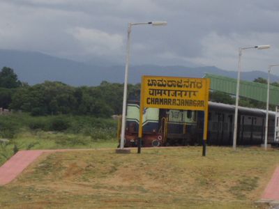
Chamarajanagar, human settlement in India
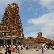
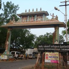
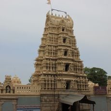
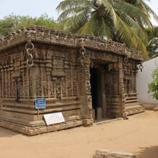
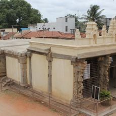
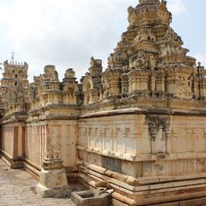
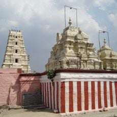
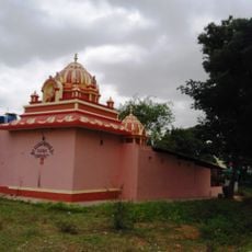
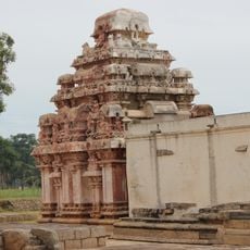
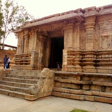
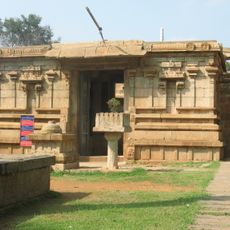
Chamarajanagar is a town in southern India that serves as the administrative center of its district. The town features a mix of traditional structures alongside more recent developments, typical of Indian district towns.
The town was established as an administrative seat and developed as a center for the surrounding region. Over time it grew from a small administrative post into an established district town.
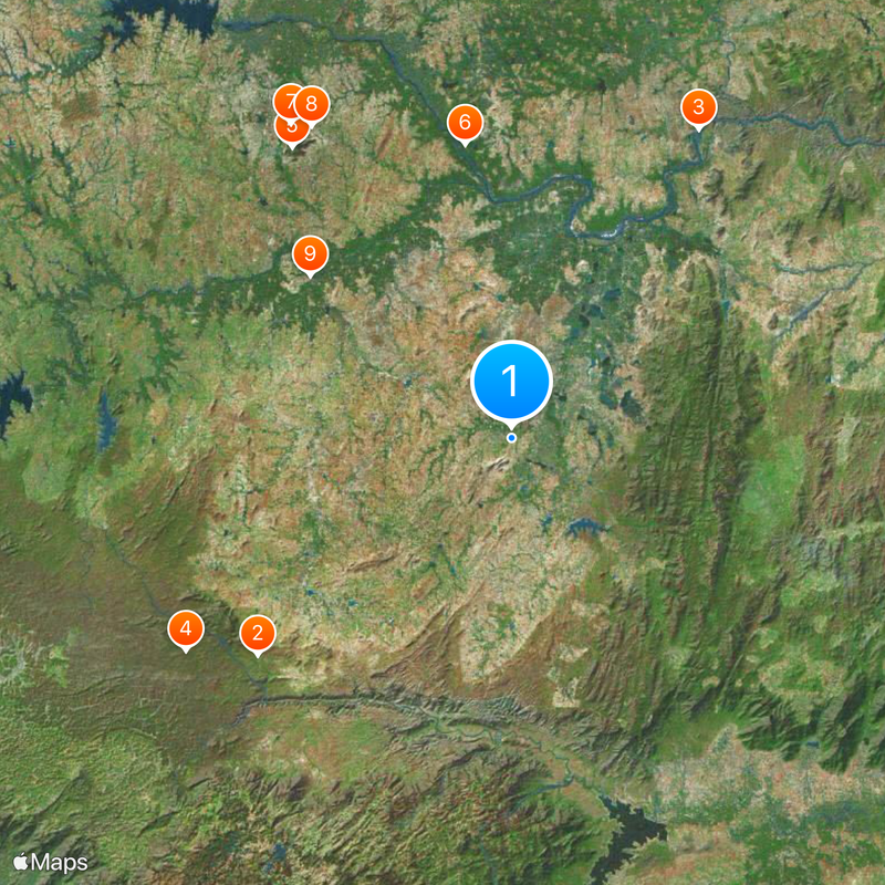
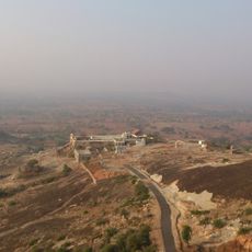
The town is well connected to surrounding areas and easiest to reach by local buses. Visitors should expect local weather patterns and basic facilities typical of Indian district towns.
The community of curious travelers
AroundUs brings together thousands of curated places, local tips, and hidden gems, enriched daily by 60,000 contributors worldwide.