Chest opened
+${chestReward.xp} XP
Explorer
NOUVEAU ×${chestReward.collectible.quantity}
tapez pour fermer

See the monuments around you in AR Open chests in the app

Around Us is built for your phone — point your camera at the streets and discover the monuments and places around you in augmented reality. Around Us is built for your phone — chests unlock when you walk, explore and capture nearby places.

•

Enable Location

We need your location to show you interesting places around you

Discover nearby places

Find interesting locations and hidden gems around you

Precise directions

Get accurate directions and distances to places

Your location is never shared with other users. It's only used when you tap the location button.

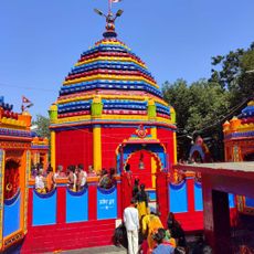
Ajodhya Hills

Log in to your account

Start exploring — it's free

Trusted by 92,861 travelers worldwide

Continue with Google
Continue with Apple
or

We will send you a code to connect

By continuing, you accept our Terms and Conditions and our Privacy Policy

Check your inbox

We've sent a pincode in your inbox. Please enter the code below.

Ajodhya Hills

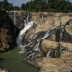
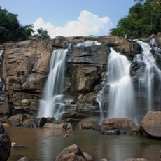
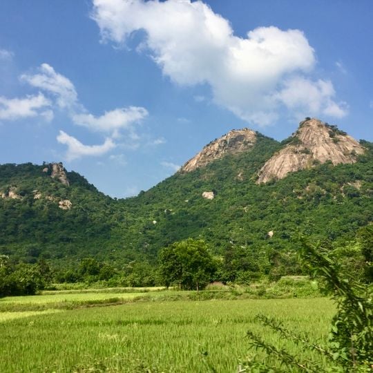
Ajodhya Hills, Hill region in Baghmundi, India

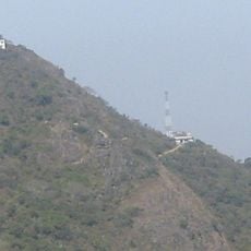
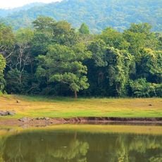
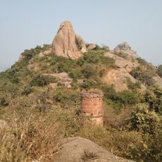
Ajodhya Hills is a small plateau with hilly surroundings in Purulia district, West Bengal, forming the easternmost part of the Chhotanagpur Plateau and an extension of the Eastern Ghats. Its highest peak is Chamtuburu, reaching 720 m. The landscape features undulating terrain with scattered hills, ridges, and lateritic soil supporting dry deciduous vegetation.

This region was once part of Bengal Subah under Mughal rule before becoming the Manbhum district during British colonial times. Following India's independence, it was reorganized and is now part of West Bengal.

The Santhal, Bhumij, and Munda peoples practice their traditions here today, including the annual Disum Sendra hunting ritual during the Baisakh full moon. These customs are closely tied to the rhythm of seasons and the natural cycles of the hills.

You can reach the hills through three entry points at Jhalda, Sirkabad, and Baghmundi, with rest houses available at Ajodhya Hilltop. Sturdy shoes and plenty of water are important because the paths are uneven and shade becomes scarce in higher areas.

The rocks of Ajodhya Hills belong to the Chhotanagpur Granite Gneiss Complex and formed more than a billion years ago, in the Mesoproterozoic era. At least 37 geosites in the area are visited for their landforms, and the Madras treeshrew, a small mammal uncommon in West Bengal, has been recorded in the dry deciduous forest.

The community of curious travelers

AroundUs brings together thousands of curated places, local tips, and hidden gems, enriched daily by 92,861 contributors worldwide.

Start exploring
Elevation above the sea
855 m
Part of
Chota Nagpur Plateau
GPS coordinates
23.28667,86.11556
Latest update
October 25, 2026 07:05
Reviews
Share your experience

No review yet

Discussions
Start a discussion...

No discussion yet

« Ajodhya Hills - Hill region in Baghmundi, India » is provided by Around Us (aroundus.com). Images and texts are derived from Wikimedia project under a Creative Commons license. You are allowed to copy, distribute, and modify copies of this page, under the conditions set by the license, as long as this note is clearly visible.

Discover hidden gems everywhere you go!

From secret cafés to breathtaking viewpoints, skip the crowded tourist spots and find places that match your style. Our app makes it easy with voice search, smart filtering, route optimization, and insider tips from travelers worldwide. Download now for the complete mobile experience.
Around Us App Screenshot
❝

A unique approach to discovering new places❞

— Le Figaro

❝

All the places worth exploring❞

— France Info

❝

A tailor-made excursion in just a few clicks❞

— 20 Minutes

Around Us
Travel Guide & Maps
Download

Send to your phone

QR Code
1

Open the camera app on your mobile.

2

Point at the QR code with your camera. A notification will appear.

3

Tap the notification to open the link.