Log in to your account

AroundUs is a community-driven map of interesting places, built by curious explorers like you. It grows with every review, story, and photo you share.
Connect to save your favorite spots, contribute locations, and create personalized routes.
Continue with Google
Continue with Apple
Continue with X
Continue with Facebook
Continue with email
By continuing, you accept our Terms and Conditions and our Privacy Policy
Create an account

Bishnupur I community development block

Add to collection
Map
Suggest a change
Share

Bishnupur I community development block, Community development block in Alipore Sadar subdivision, West Bengal, India.

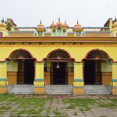
Bishnupur I is an administrative block within Alipore Sadar subdivision that encompasses around 84 villages spread across flat, low-lying terrain. The block serves as the main governance unit organizing local services and community infrastructure across this rural expanse.

The block developed as an administrative structure to serve the region within the broader district system. This reorganization enabled better local governance and resource distribution across the scattered villages.

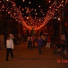
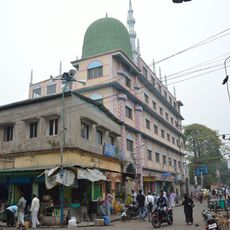
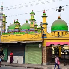
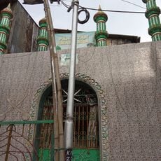
The population distribution shows a mix of religious groups with Hindus representing 63 percent, Muslims 31 percent, and Christians 5 percent of inhabitants.

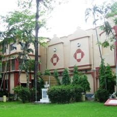
The block contains multiple primary schools and several secondary institutions serving thousands of students from surrounding communities. Educational facility availability varies by village, so it helps to explore the nearest schools as needed for any inquiries.

The region receives support from the Backward Regions Grant Fund, established by the Indian government to enhance development in designated areas.

Location: Alipore Sadar subdivision

Capital city: Bishnupur

Elevation above the sea: 8 m

Shares border with: Thakurpukur Maheshtala community development block, Sonarpur community development block, Baruipur community development block, Magrahat I community development block, Magrahat II community development block, Bishnupur II community development block

GPS coordinates: 22.38120,88.26800

Latest update: December 11, 2025 18:04

Photos
Reviews

Visited this place? Tap the stars to rate it and share your experience / photos with the community! Try now! You can cancel it anytime.

« Bishnupur I community development block - Community development block in Alipore Sadar subdivision, West Bengal, India » is provided by Around Us (aroundus.com). Images and texts are derived from Wikimedia project under a Creative Commons license. You are allowed to copy, distribute, and modify copies of this page, under the conditions set by the license, as long as this note is clearly visible.

Discover hidden gems everywhere you go!

From secret cafés to breathtaking viewpoints, skip the crowded tourist spots and find places that match your style. Our app makes it easy with voice search, smart filtering, route optimization, and insider tips from travelers worldwide. Download now for the complete mobile experience.

Around Us App Screenshot

A unique approach to discovering new places

Le Figaro

All the places worth exploring

France Info

A tailor-made excursion in just a few clicks

20 Minutes