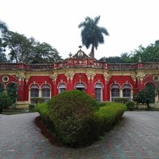
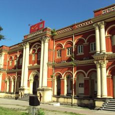
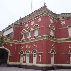
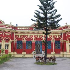
Dinhata I community development block, Administrative block in Dinhata subdivision, West Bengal, India.
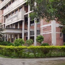
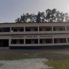
Dinhata I is an administrative block spanning a large rural area with more than 100 villages dispersed across the landscape. The territory includes primary schools, health clinics, and utility infrastructure serving the local population.
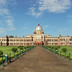
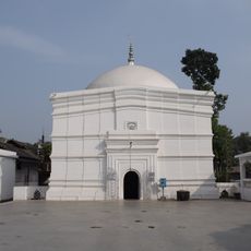
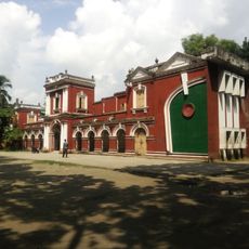
The block was established as an administrative division within the former Cooch Behar princely state during the British colonial period. The territory had been inhabited and governed by local rulers long before becoming part of the colonial administration.
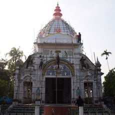
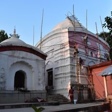
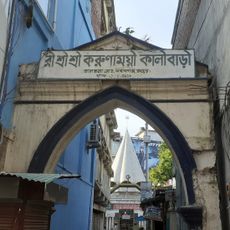
Bengali is the primary language spoken throughout the villages, and residents practice different faiths that shape daily customs and celebrations. You will notice how both communities have contributed to the local way of living.
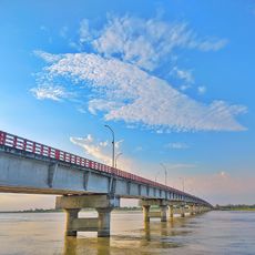
The area is accessible by road, though travel requires patience since it is a rural region with village routes. Visiting individual villages gives you a better sense of daily life and local conditions across the block.
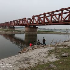
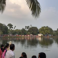
Fishing and rice cultivation are woven into the daily economy, providing livelihoods for many families across the villages. These activities depend heavily on the river systems and seasonal patterns that define the landscape.
Location: Dinhata subdivision
Shares border with: Dinhata II community development block, Cooch Behar I community development block, Sitai community development block
GPS coordinates: 26.14172,89.43403
Latest update: December 12, 2025 07:58
Cooch Behar Palace
20.6 km
Madhupur Satra
25.4 km
Rangpur Polytechnic Institute
46.7 km
Rajpat
8.4 km
Baneshwar Shiva temple
29.3 km
Matiabag Palace
42.5 km
Tista Railway Bridge
38.9 km
Recreation Park and Rangpur Zoo
46.7 km
Kamteswari temple
7.2 km
Rangpur Town Hall
46.9 km
Sindurmati Dighi
37.5 km
Koteshwar Shiva Mandir
37 km
Gangachara Sheikh Hasina Bridge
35.3 km
রীঁ শ্রী শ্রী করুণাময়ী কালীবাড়ি
47.2 km
Kurigram Polytechnic Institute
42.8 km
Singerdabri Hat Ml High School & College
38.3 km
Siddheswari temple
27.8 km
Rail Museum, Cooch Behar
19.8 km
Madan Mohan temple
19.9 km
Siddhanath Shiva temple
15.8 km
Shasoto Bangla Museum
47.1 km
Kalyan Bhawan
19.8 km
Victor Palace
20 km
Maharaja Jitendra Narayan Club
20.2 km
Parijat Villa
19.8 km
Cooch Behar head post office
20.2 km
Lansdonne Hall
19.9 km
Bhola Ashram
19.8 kmVisited this place? Tap the stars to rate it and share your experience / photos with the community! Try now! You can cancel it anytime.
Discover hidden gems everywhere you go!
From secret cafés to breathtaking viewpoints, skip the crowded tourist spots and find places that match your style. Our app makes it easy with voice search, smart filtering, route optimization, and insider tips from travelers worldwide. Download now for the complete mobile experience.
A unique approach to discovering new places❞
— Le Figaro
All the places worth exploring❞
— France Info
A tailor-made excursion in just a few clicks❞
— 20 Minutes