Karulai Grama Panchayat, Rural governance unit in Malappuram district, India.
Karulai Grama Panchayat is a local administrative unit in Malappuram with cultivated fields, residential zones, and small settlements scattered across areas like Kottupara and Nariyalamkunnu. Multiple villages and neighborhoods form this rural governance area.
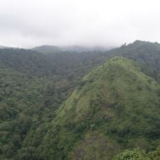
Karulai Grama Panchayat covers 131.31 square kilometres in Nilambur block, Nilambur taluk, Malappuram district, and is divided into 15 wards, among them Maruthangadu, Kottupara, Nariyalamkunnu, Mylampara and Karulai. Its boundaries reach Tamil Nadu on the east and south, with the Amaramabalam and Moothadam panchayats to the west and north. Much of the land is forest, which keeps population density low.
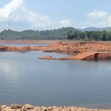
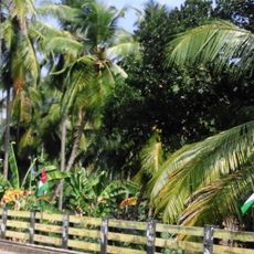
Karulai is called the "gods' own village" for its green forest and the fish and plant species of the Karimpuzha River. Tribal hamlets such as Mundakkadavu, Uchakkulam and Kalkkulam lie within the panchayat, and the town's Juma Masjid and madrassas serve its Muslim community.
Visitors can approach the panchayat office to learn about local services and ongoing community projects in the area. The best time to visit is during regular office hours, when staff members are available to answer questions.
Karulai's panchayat area covers 131.31 sq km across 15 wards, from Maruthangadu and Kottupara to Pilakkottupadam. Most of it is forest, so residents cluster near the bus stands and the panchayat office on School Road. The Nedumkayam rainforest within it forms part of the Nilgiri Biosphere Reserve.
The community of curious travelers
AroundUs brings together thousands of curated places, local tips, and hidden gems, enriched daily by 93,863 contributors worldwide.