Enable Location

We need your location to show you interesting places around you

Discover nearby places

Find interesting locations and hidden gems around you

Precise directions

Get accurate directions and distances to places

Your location is never shared with other users. It's only used when you tap the location button.

Log in to your account

Start exploring — it's free

Trusted by 62,286 travelers worldwide

Continue with Google
Continue with Apple
or

We will send you a code to connect

By continuing, you accept our Terms and Conditions and our Privacy Policy

Check your inbox

We've sent a pincode in your inbox. Please enter the code below.

Kalimpong I community development block

Kalimpong I community development block, Administrative block in Kalimpong subdivision, India

Kalimpong I is an administrative block in the Kalimpong region of West Bengal that covers a large land area. The block is divided into multiple local government units and serves the population through basic services including schools and medical facilities.

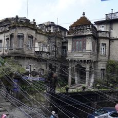
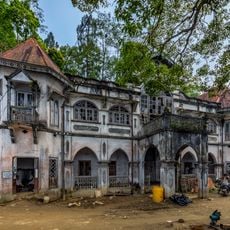
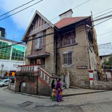
The territory came under British control in 1865 after the war between Britain and Bhutan, having been ruled previously by the kingdoms of Sikkim and Bhutan. This shift in power shaped the administrative structure and development of the region for decades to come.

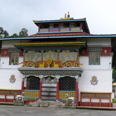
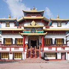
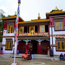
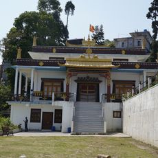
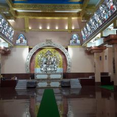
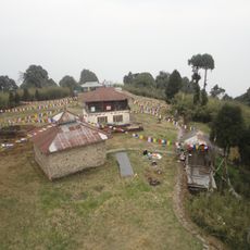
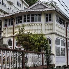
The population speaks Nepali as the main language and practices different faiths that shape daily routines and local traditions. You can observe this religious diversity in the various shrines and places of worship scattered throughout the region.

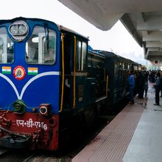
The block is organized into multiple local administrative units that provide medical and educational services to residents. Visitors should know that infrastructure is typical for rural areas and accessibility to services depends on your specific location within the block.

The region shows remarkably high literacy rates compared to many other rural areas in the state. This is reflected in a large number of educated people who shape the community and support local initiatives.

The community of curious travelers

AroundUs brings together thousands of curated places, local tips, and hidden gems, enriched daily by 60,000 contributors worldwide.

Start exploring
Shares border with
Kalimpong II community development block, Gorubathan community development block, Mal community development block, Rajganj community development block, Matigara community development block, Kurseong community development block, Rangli Rangliot community development block
GPS coordinates
27.06000,88.47000
Latest update
December 12, 2025 16:43
« Kalimpong I community development block - Administrative block in Kalimpong subdivision, India » is provided by Around Us (aroundus.com). Images and texts are derived from Wikimedia project under a Creative Commons license. You are allowed to copy, distribute, and modify copies of this page, under the conditions set by the license, as long as this note is clearly visible.

Discover hidden gems everywhere you go!

From secret cafés to breathtaking viewpoints, skip the crowded tourist spots and find places that match your style. Our app makes it easy with voice search, smart filtering, route optimization, and insider tips from travelers worldwide. Download now for the complete mobile experience.

Around Us App Screenshot

A unique approach to discovering new places

Le Figaro

All the places worth exploring

France Info

A tailor-made excursion in just a few clicks

20 Minutes

Around Us
Travel Guide & Maps
Download

Send to your phone

QR Code
1

Open the camera app on your mobile.

2

Point at the QR code with your camera. A notification will appear.

3

Tap the notification to open the link.