Joypur community development block, Administrative block in Jhalda subdivision, India
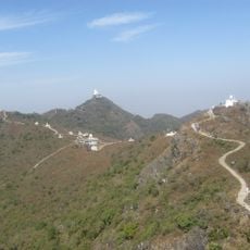
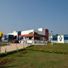
Joypur is an administrative block in Jhalda subdivision that stretches across a large area and shares multiple borders with Jharkhand state. The block contains villages, farmland, schools, and health centers that serve a rural population.
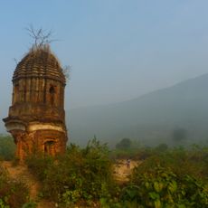
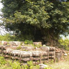
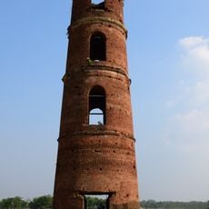
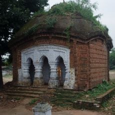
The region was part of the Jungle Mahals territories until 1838, when it was incorporated into the newly created administrative structure of Purulia district. This reorganization shaped how local governance has functioned since then.
Agriculture shapes daily life here, with many residents working on farms and organizing their communities around crops and livestock. Throughout the region, one sees villages and farmland that show how deeply harvesting and farming are woven into local identity.
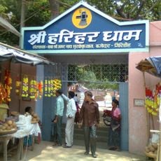
The block has several schools and health centers providing basic services to the local population. The best time to explore is during the dry season when roads are more accessible.
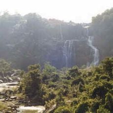
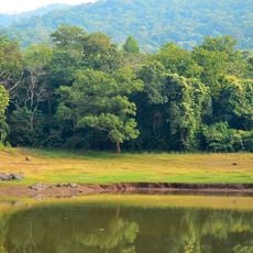
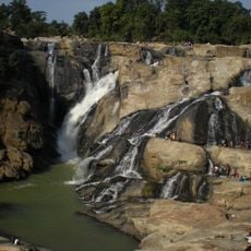
The region is known for its many small water bodies and seasonal streams that shape the landscape and influence agricultural activities. These waterways play an important role in how local communities live and work.
The community of curious travelers
AroundUs brings together thousands of curated places, local tips, and hidden gems, enriched daily by 60,000 contributors worldwide.